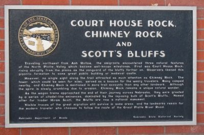
Court House Rock, Chimney Rock and Scott’s Bluffs
However, no single sight along the trail attracted as much attention as Chimney Rock. The tower, which could be seen for miles, served as a beacon for the weary travelers. Many camped nearby, and Chimney Rock is mentioned in more trail accounts than any other landmark. Although the spire is slowly crumbling due to erosion, Chimney Rock remains a unique natural wonder.
As the wagon trains approached the end of their journey across Nebraska, they were greeted by a series of citadel-like eminences, dominated by the imposing bulk of Scott’s Bluffs. Named after fur trader Hiram Scott, the Bluffs are now an national monument.
Visible traces of the great migration still survive in some areas and the landmarks remain for the modern traveler who chooses to follow the route of the Great Platte River Road.
Erected by Nebraska Department of Roads/Nebraska State Historical Society. (Marker Number 99.)
Topics and series. This historical marker is listed
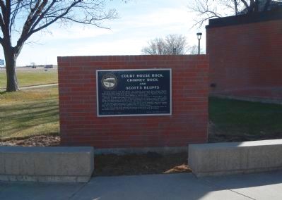
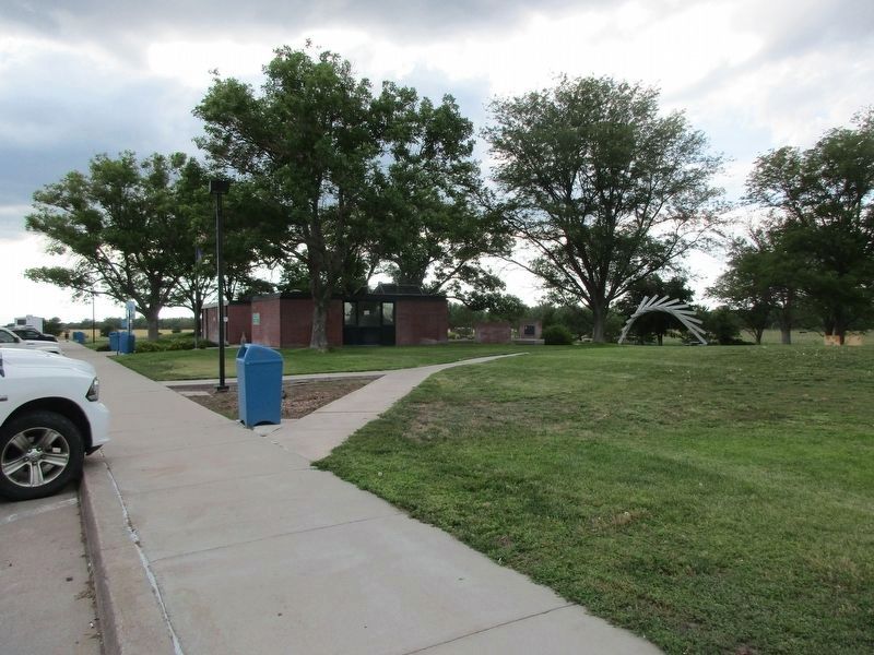
Location. 41° 7.212′ N, 101° 36.229′ W. Marker is near Ogallala, Nebraska, in Keith County. Marker can be reached from Interstate 80, on the right when traveling west. This marker is located at the Roscoe Rest Area on the north side of Interstate 80. Touch for map. Marker is in this post office area: Ogallala NE 69153, United States of America. Touch for directions.
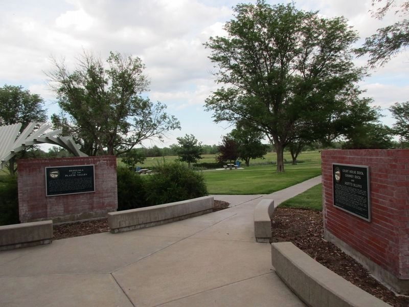
Other nearby markers. At least 8 other markers are within 6 miles of this marker, measured as the crow flies. Ogallala and the Platte Valley (here, next to this marker); Ash Hollow (here, next to this marker); Escape of the Northern Cheyenne (approx. 0.9 miles away); The Great Platte River Road (approx. 6 miles away); a different marker also named The Great Platte River Road (approx. 6 miles away); End of the Texas Trail (approx. 6 miles away); Highways 26 and 92 (approx. 6 miles away); Standard Oil Gas Station (approx. 6 miles away). Touch for a list and map of all markers in Ogallala.
Also see . . .
1. Scotts Bluff National Monument - National Park Service. "Towering 800 feet above the North Platte River, Scotts Bluff has served as a landmark for peoples from
2. Chimney Rock - National Park Service. "Though the origins of the name of the rock are obscure, the title “Chimney Rock” probably originated with the first fur traders in the region. In the early 19th century, however, travelers referred to it by a variety of other names, including Chimley Rock, Chimney Tower, and Elk Peak, but Chimney Rock had become the most commonly used name by the 1840s." (Submitted on December 18, 2012, by Barry Swackhamer of Brentwood, California.)
Additional keywords. Oregon/California Trail
Credits. This page was last revised on July 10, 2023. It was originally submitted on December 18, 2012, by Barry Swackhamer of Brentwood, California. This page has been viewed 646 times since then and 13 times this year. Photos: 1, 2. submitted on December 18, 2012, by Barry Swackhamer of Brentwood, California. 3, 4. submitted on July 9, 2023, by Jeff Leichsenring of Garland, Texas. • Bill Pfingsten was the editor who published this page.


