Encino in Los Angeles in Los Angeles County, California — The American West (Pacific Coastal)
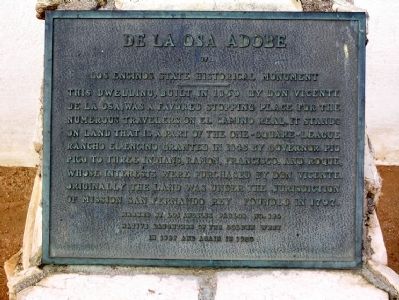
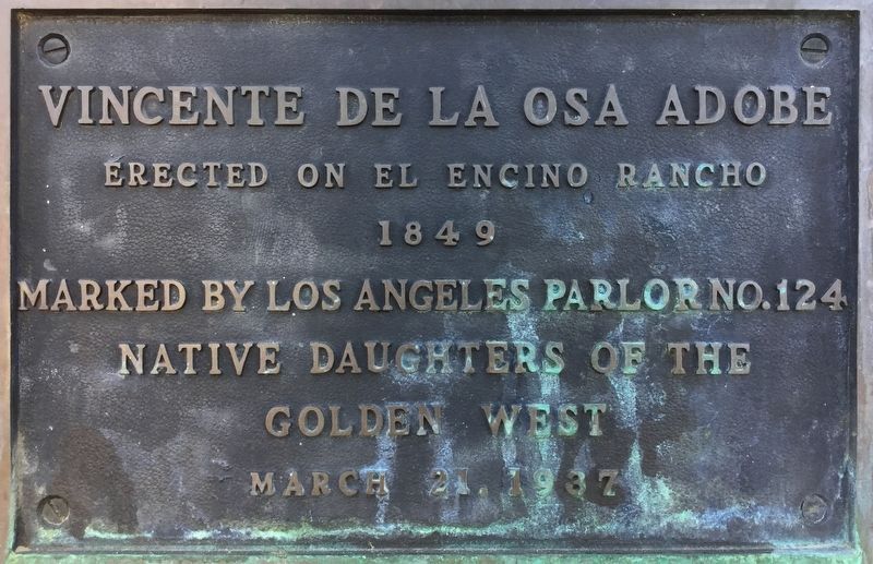
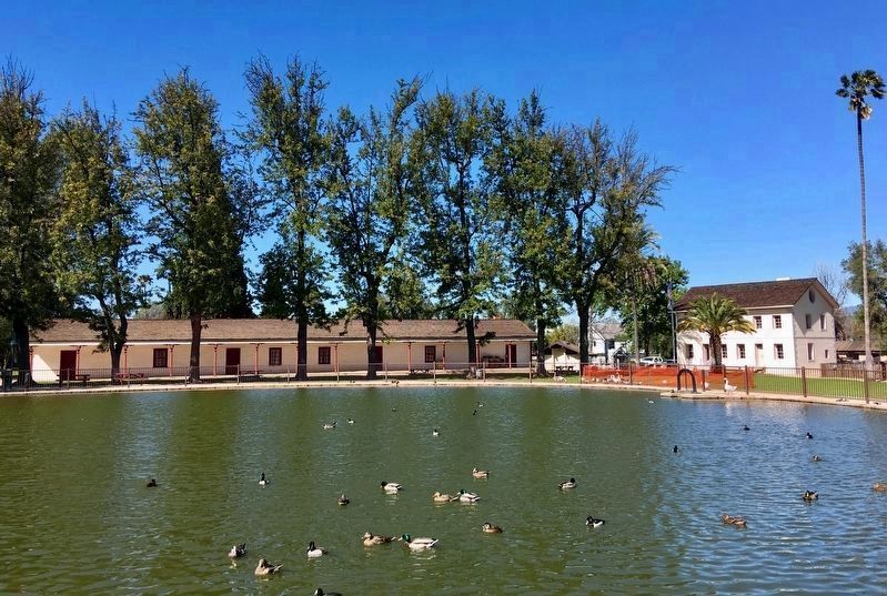
De La Osa Adobe
Los Encinos State Historical Monument
Erected 1950 by Los Angeles Parlor No. 124 - Native Daughters of the Golden West. (Marker Number 689.)
Topics and series. This historical marker is listed in this topic list: Settlements & Settlers. In addition, it is included in the Butterfield Overland Mail, the California Historical Landmarks, the El Camino Real, “The King's Highway” (California), and the Native Sons/Daughters of the Golden West series lists. A significant historical year for this entry is 1849.
Location. 34° 9.622′ N, 118° 29.92′ W. Marker is in Los Angeles, California, in Los Angeles County. It is in Encino. Marker can be reached from the intersection of Moorpark Street and La Maida Street, on the right when traveling east. Touch for map. Marker is at or near this postal address: 16756 Moorpark Street, Encino CA 91436, United States of America. Touch for directions.
Other nearby markers. At least 8 other markers are within 3 miles of this marker , measured as the crow flies. Encino Oak Tree (approx. 0.6 miles away); Birmingham Army Hospital (approx. 2 miles away); Nike Missile Site LA96C (approx. 2.3 miles away); Adventures of Superman (approx. 2.7 miles away); Hammat Tiberias (approx. 2.7 miles away); Mulholland Drive Bridge (approx. 2.7 miles away); United States Armed Forces (approx. 2.9 miles away); World War II on the Tarzana Ranch (approx. 3 miles away). Touch for a list and map of all markers in Los Angeles.
More about this marker. Marker is located in Los Encinos State Historic Park at the northeast end of the adobe.
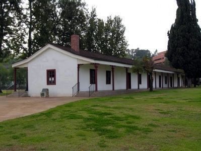
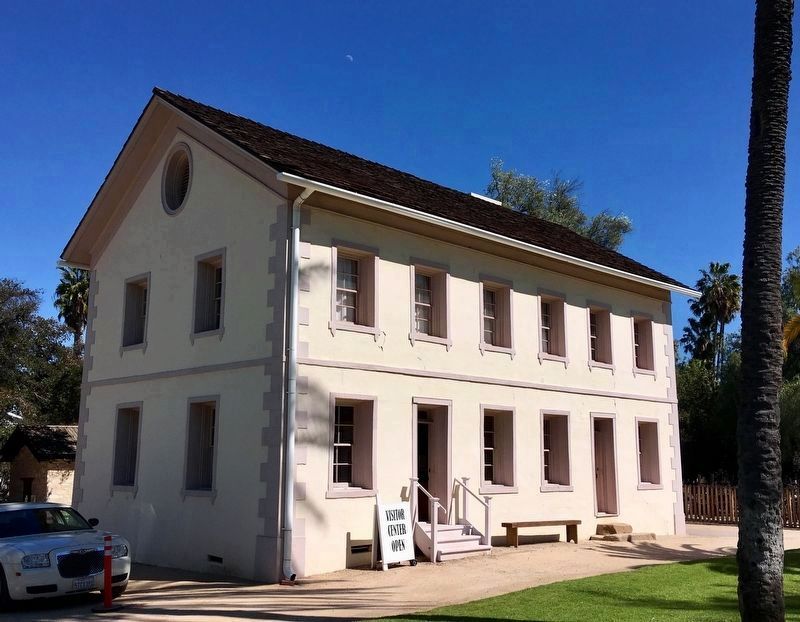
Regarding De La Osa Adobe. The park includes the original eight-room De la Osa Adobe, the two-story limestone Garnier building, a blacksmith shop, a natural spring, and a pond. The spring provided a year-round source of water for the ancient village of Siutcanga, home to Chumash, Tongva, and Tataviam people. The 4.7-acre site was established as a California State Park in 1949.
This was a Butterfield Overland Mail stagecoach stop beginning in 1858, until the new railroad replaced stages in 1875.
This is California Historical Landmark No. 689 — Los Encinos State Historic Park. Listed on the National Register of Historic Places.
Today, the park
has exhibits related to the agricultural enterprises of Rancho El Encino’s various owners, including Mission Indian, Mexican Californio, French, and French Basque families. The park is open Wed-Sun 10-5.
Also see . . .
1. The History of Rancho Los Encinos. From the website of the Los Encinos State Historic Park. (Submitted on April 14, 2015, by Duane Hall of Abilene, Texas.)
2. Google Map of the Butterfield Overland Mail route. (Submitted on February 15, 2019, by Craig Baker of Sylmar, California.)
Credits. This page was last revised on February 7, 2023. It was originally submitted on December 20, 2012, by Duane Hall of Abilene, Texas. This page has been viewed 1,636 times since then and 155 times this year. Last updated on March 16, 2019, by Craig Baker of Sylmar, California. Photos: 1, 2. submitted on December 20, 2012, by Duane Hall of Abilene, Texas. 3. submitted on February 5, 2018, by Craig Baker of Sylmar, California. 4, 5. submitted on March 16, 2019, by Craig Baker of Sylmar, California. • Bill Pfingsten was the editor who published this page.
