Near Wellton in Yuma County, Arizona — The American Mountains (Southwest)
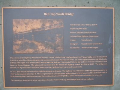
Red Top Wash Bridge
Constructed 1931, Widened 1949
Replaced 2009-2010
Federal Highway Administration
Arizona State Highway Department
Owner: Yuma County
Designer: TransSystems Corporation
Contractor: Bison Contracting Co.
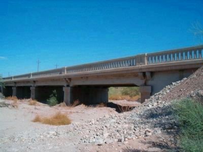
The Arizona State Highway Department placed a 4-span, 160 feet long, reinforced concrete T-beam bridge over Red Top Wash in 1931 as part of its efforts to improve the main road between Phoenix and Yuma. Its route approximates the old Gila Trail, a military and wagon road and the 1883 Southern Pacific Railroad. Starting in 1911, the old trail was included in the Pikes Peak Ocean-to-Ocean Highway. The alignment was taken into the federal-aid highway system as US 80 in 1927. The bridge was historic for its association with this important state highway and transcontinental route.
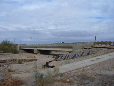
In 1931, this was the most heavily traveled state route in Arizona. The highway was widened in 1949 and then bypassed in 1967 by the modern Interstate-8. The new prestressed concrete beam bridge placed in 2010 was one of the first in the state to be built using American Recovery and Reinvestment Act of 2009 (ARRA) funds intended to stimulate the economy.
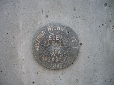
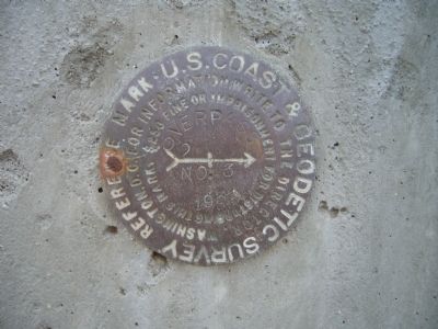
The two survey monuments below were taken from the former Red Top Wash Bridge before it was replaced.
Topics. This historical marker is listed in these topic lists: Bridges & Viaducts • Roads & Vehicles. A significant historical year for this entry is 1931.
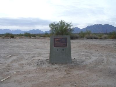
Location. 32° 40.338′ N, 114° 16.43′ W. Marker is near Wellton, Arizona, in Yuma County. Marker is on Los Angels Avenue, 2 miles east of Interstate 8, on the right when traveling east. Marker is just east of the new bridge. Touch for map. Marker is in this post office area: Wellton AZ 85356, United States of America. Touch for directions.
Other nearby markers. At least 4 other markers are within 18 miles of this marker, measured as the crow flies. El Camino Del Diablo (approx. 7.7 miles away); Camp Laguna (approx. 12.7 miles away); Italians at the Yuma Test Branch (approx. 17.9 miles away); World War II Bridge Test Site (approx. 17.9 miles away).
Credits. This page was last revised on April 3, 2023. It was originally submitted on December 20, 2012, by Bill Kirchner of Tucson, Arizona. This page has been viewed 968 times since then and 37 times this year. Photos: 1, 2, 3, 4, 5. submitted on December 20, 2012, by Bill Kirchner of Tucson, Arizona. 6. submitted on May 19, 2015, by J. Makali Bruton of Accra, Ghana. • Syd Whittle was the editor who published this page.
