Galesville in Anne Arundel County, Maryland — The American Northeast (Mid-Atlantic)
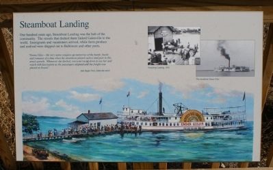
Steamboat Landing
"Emma Giles - the very name conjures up memories of the hustle, bustle and romance of a time when the steamboat played such a vital part in this area's growth. Whenever she docked, everyone raced down to see her and watch with fascination as the passengers alighted and the freight was placed on board."
Jean Sieger Trott, Galesville native.
[photograph]
Steamboat Landing, 1920
[photograph]
The steamboat Emma Giles
Topics. This historical marker is listed in these topic lists: Settlements & Settlers • Waterways & Vessels. A significant historical year for this entry is 1920.
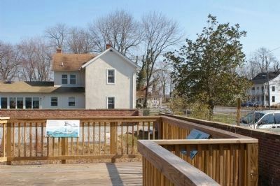
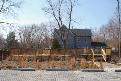
Location. 38° 50.614′ N, 76° 32.504′ W. Marker is in Galesville, Maryland, in Anne Arundel County. Marker can be reached from Main Street. Touch for map. Marker is at or near this postal address: 988 Main Street, Galesville MD 20765, United States of America. Touch for directions.
Other nearby markers. At least 8 other markers are within walking distance of this marker. Where Land Meets Water (a few steps from this marker); Native Plants (a few steps from this marker); Welcome to Galesville (a few steps from this marker); Carrie Weedon House (a few steps from this marker); Valuable Wetlands (within shouting distance of this marker); William Penn (about 600 feet away, measured in a direct line); Veterans Memorial (approx. 0.2 miles away); Women of Hartge Yacht Yard (1934-2006) (approx. 0.4 miles away). Touch for a list and map of all markers in Galesville.

Photographed By F. Robby, July 28, 2009
4. Steamboat Landing
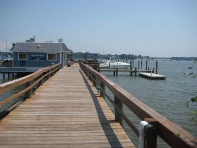
This pier at the south end of Riverside Drive, about 3 tenths of a mile East of the museum and Steamboat Landing marker, is where the Emma Giles and other steamboats docked at Galesville. The building on the pier today is the Steamboat Landing Restaurant.
Credits. This page was last revised on January 4, 2020. It was originally submitted on March 14, 2008, by Christopher Busta-Peck of Shaker Heights, Ohio. This page has been viewed 1,690 times since then and 36 times this year. Photos: 1, 2, 3. submitted on March 14, 2008, by Christopher Busta-Peck of Shaker Heights, Ohio. 4. submitted on September 5, 2009, by F. Robby of Baltimore, Maryland.


