South of Broad in Charleston in Charleston County, South Carolina — The American South (South Atlantic)
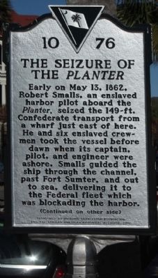
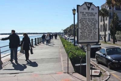
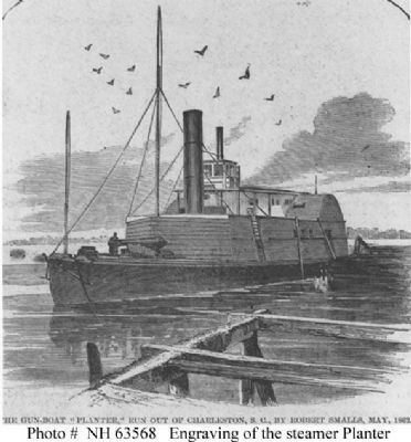
The Seizure of the Planter
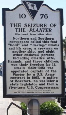
(Reverse text)
Northern and Southern newspapers called this feat "bold" and "daring." Smalls and his crew, a crewman on another ship, and eight other enslaved persons including Smalls' wife, Hanna, and three children, won their freedom by it.
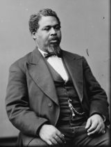
Smalls (1839-1915) was appointed captain of the Planter by a U.S. Army contract in 1853. A native of Beaufort, he was later a state legislator and then a five-term U.S. Congressman.
Erected 2012 by Historic Charleston Foundation and the African American Historical Alliance. (Marker Number 10-76.)
Topics. This historical marker is listed in these topic lists: African Americans • War, US Civil. A significant historical month for this entry is May 1829.
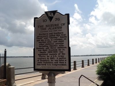
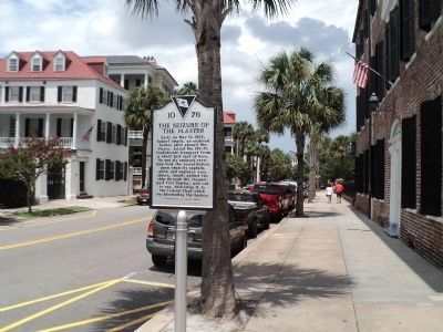
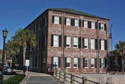
Location. 32° 46.385′ N, 79° 55.637′ W. Marker is in Charleston, South Carolina, in Charleston County. It is in South of Broad. Marker is at the intersection of East Bay Street (U.S. 52) and Waterside (Harbor Seawall walkway), on the right when traveling north on East Bay Street. Located north of Water Street at the Historic Charleston Foundation. Touch for map. Marker is at or near this postal address: 40 East Bay Street, Charleston SC 29401, United States of America. Touch for directions.
Other nearby markers. At least 8 other markers are within walking distance of this marker. The Site of Granville Bastion (within shouting distance of this marker); The Walled City of Charles Town (within shouting distance of this marker); Section of parapet, or upper portion of the wall (within shouting distance of this marker); In Search of the Walled City (within shouting distance of this marker); 6 Water Street - Francis Saltus House (about 300 feet away, measured in a direct line); Casper Christian Schutt House (about 300 feet away); Joseph Verree House (about 500 feet away); James Verree House (about 500 feet away). Touch for a list and map of all markers in Charleston.
Also see . . . Robert Smalls, Wikipedia entry. Born in 1839 into slavery in a cabin behind the house of his master Henry McKee on 511 Prince Street in Beaufort, South Carolina. He grew up in the city under the influence of the Lowcountry Gullah culture of his mother. Smalls' mother, Lydia Polite, was a slave held by McKee (Submitted on December 23, 2012, by Mike Stroud of Bluffton, South Carolina.)
Additional keywords. The Seizure of the Planter
Credits. This page was last revised on February 16, 2023. It was originally submitted on December 23, 2012, by Mike Stroud of Bluffton, South Carolina. This page has been viewed 1,111 times since then and 93 times this year. Photos: 1, 2. submitted on December 24, 2012, by Mike Stroud of Bluffton, South Carolina. 3, 4. submitted on August 8, 2013, by Bill Coughlin of Woodland Park, New Jersey. 5, 6. submitted on December 24, 2012, by Mike Stroud of Bluffton, South Carolina. 7, 8. submitted on March 1, 2008, by Mike Stroud of Bluffton, South Carolina.
