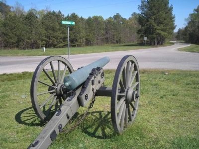
Near Dinwiddie in Dinwiddie County, Virginia — The American South (Mid-Atlantic)
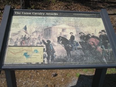
The Union Cavalry Attacks
“I was exceedingly anxious to attack at once, for the sun was getting low, and we had to fight or go back.”
- Maj. Gen. Philip Sheridan
On March 31, 1865, Union cavalry under Maj. Gen. Philip Sheridan retreated down this road to Dinwiddie Court House, driven by Pickett’s Confederates. On April 1, the Federal cavalrymen returned – with a vengeance.
Late that afternoon Sheridan deployed his two divisions in a two-mile line on both sides of this road. A half mile in front stood Pickett’s men, entrenched around Five Forks. As Warren’s Union infantry swept down on Pickett’s lines from the east and, eventually, the north, Sheridan’s dismounted troopers charged the Confederate works from the south. Outmaneuvered and outnumbered, the Confederates gave way.
Erected by National Park Service, U.S. Department of the Interior.
Topics. This historical marker is listed in this topic list: War, US Civil. A significant historical month for this entry is March 1865.
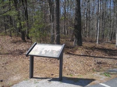
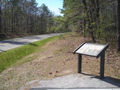
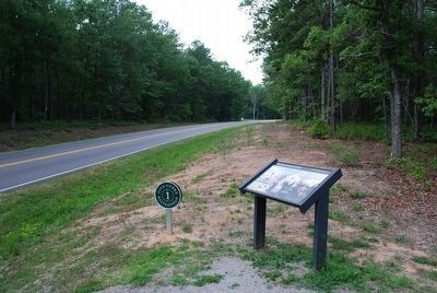
Location. This marker has been replaced by another marker nearby. It was located near 37° 8.078′ N, 77° 36.979′ W. Marker was near Dinwiddie, Virginia, in Dinwiddie County. Marker was on Courthouse Road (Virginia Route 627) , on the left when traveling south. Marker is in the Five Forks Unit of Petersburg National Battlefield. Touch for map. Marker was in this post office area: Dinwiddie VA 23841, United States of America. Touch for directions.
Other nearby markers. At least 8 other markers are within walking distance of this location. "I was exceeding anxious to attack at once…" (within shouting distance of this marker); The Siege of Petersburg (approx. 0.2 miles away); Siege of Petersburg — The Linchpin is Pulled (approx. 0.2 miles away); "Advanced…repulsed…charged again…" (approx. ¼ mile away); Attack on the Angle (approx. half a mile away); Five Forks Battlefield (approx. half a mile away); The Battle of Five Forks (approx. half a mile away); a different marker also named Battle of Five Forks (approx. half a mile away). Touch for a list and map of all markers in Dinwiddie.
More about this marker. The background of the marker shows Gen. Sheridan and a group of mounted cavalrymen getting directions from a local man. The caption reads Major General Philip Sheridan and his commanders at Dinwiddie Court House, prior to the Battle of Five Forks.
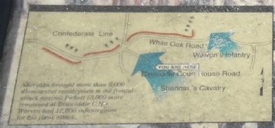
The bottom left of the marker contains a map showing the Confederate fortifications around Five Forks, and the Union line of attack.
Related marker. Click here for another marker that is related to this marker. This marker has been replaced with the linked marker.
Also see . . .
1. Five Forks Battlefield. Wikipedia entry (Submitted on February 2, 2024, by Larry Gertner of New York, New York.)
2. Battle of Five Forks (Petersburg National Battlefield). National Park Service website entry (Submitted on February 2, 2024, by Larry Gertner of New York, New York.)
Photographed By Bill Coughlin, April 24, 2007
5. Five Forks Battle Map
The map shows the Confederate fortifications around Five Forks. Sheridan brought more than 6,000 dismounted cavalrymen to the frontal attack against Pickett (3,000 more remained at Dinwiddie CH). Warren had 12,000 infantrymen for his flank attack.
Credits. This page was last revised on February 2, 2024. It was originally submitted on March 15, 2008, by Bill Coughlin of Woodland Park, New Jersey. This page has been viewed 1,723 times since then and 44 times this year. Photos: 1, 2, 3. submitted on March 15, 2008, by Bill Coughlin of Woodland Park, New Jersey. 4. submitted on August 8, 2015, by Brandon Fletcher of Chattanooga, Tennessee. 5, 6. submitted on March 15, 2008, by Bill Coughlin of Woodland Park, New Jersey. • Craig Swain was the editor who published this page.
