Spring Hill in Maury County, Tennessee — The American South (East South Central)
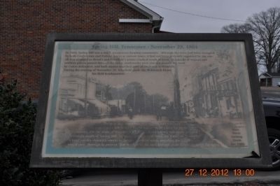
Spring Hill, Tennessee ~ November 29, 1864
Inscription.
In 1864, Spring Hill was a small, prosperous farming community. Although the town had been occupied by both Confederate and Federal forces at various times, it had not been seriously impacted by the war. All that changed as Hood's and Schofield's armies clashed south of town. Hundreds of wagons and artillery pieces passed through the town, earthworks were erected around the town by Union defenders, and both armies marched past on their way to Franklin. During the evening of November 29, Schofield made the McKissack House his field headquarters.
The next day, hundreds of southern and northern wounded were left behind by the armies to be cared for by the community. On the night of December 17, 1864, Hood's Army was again camped overnight south of Spring Hill, following their retreat from the Battle of Nashville. A brief cavalry skirmish would be fought north of town, and then the Union army would pass through in pursuit. For the rest of the war, Federal units would garrison the town.
Topics. This historical marker is listed in this topic list: War, US Civil. A significant historical year for this entry is 1864.
Location. 35° 45.06′ N, 86° 55.832′ W. Marker is in Spring Hill, Tennessee, in Maury County. Marker is at the intersection of Main Street (U.S. 31) and Depot Street on Main Street. Touch for map . Marker is at or near this postal address: 5317 Main Street, Spring Hill TN 37174, United States of America. Touch for directions.
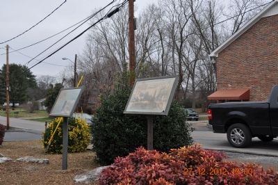
Other nearby markers. At least 8 other markers are within walking distance of this marker. The Town of Spring Hill, Tennessee (here, next to this marker); Ewell Farm (a few steps from this marker); Ritter-Morton Cottage (about 400 feet away, measured in a direct line); Grace Episcopal Church (about 700 feet away); Spring Hill Presbyterian Church (approx. 0.2 miles away); Martin Cheairs Home (approx. 0.2 miles away); William Banks Caperton (approx. 0.2 miles away); Nashville and Decatur Railroad (approx. 0.6 miles away). Touch for a list and map of all markers in Spring Hill.
Credits. This page was last revised on June 16, 2016. It was originally submitted on December 28, 2012, by Sandra Hughes Tidwell of Killen, Alabama, USA. This page has been viewed 664 times since then and 11 times this year. Photos: 1, 2. submitted on December 28, 2012, by Sandra Hughes Tidwell of Killen, Alabama, USA. • Craig Swain was the editor who published this page.

