Leonardville in Alameda in Alameda County, California — The American West (Pacific Coastal)
1890 Seawall
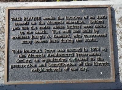
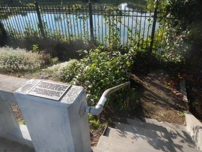
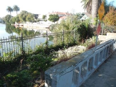
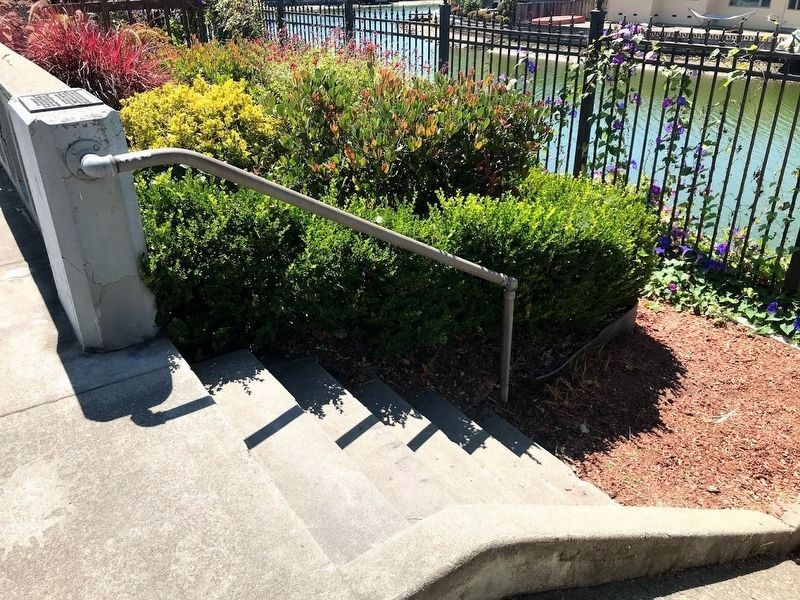
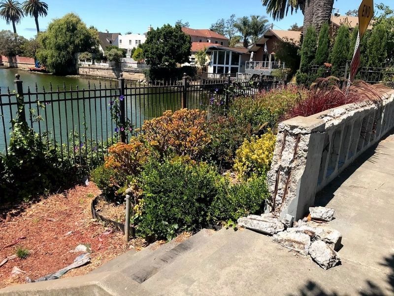
This plaque marks the location of an 1890 seawall on the Alameda shoreline. Behind you are the stairs where bathers went down to the beach. The wall was built by architect Joseph A. Leonard, who constructed many homes here during the 1890s.
This ironwork fence was erected in 1998 by the Alameda Architectural Preservation Society, an organization dedicated to the preservation and beautification of the historic neighborhoods of our city.
Erected 1998 by Alameda Architectural Preservation Society.
Topics. This historical marker is listed in these topic lists: Architecture • Parks & Recreational Areas • Waterways & Vessels. A significant historical year for this entry is 1890.
Location. 37° 45.885′ N, 122° 15.518′ W. Marker is in Alameda, California, in Alameda County. It is in Leonardville. Marker is on Union Street south of Clinton Avenue. This marker is located at the end of Union Street. Touch for map. Marker is at or near this postal address: 891 Union Street, Alameda CA 94501, United States of America. Touch for directions.
Other nearby markers. At least 8 other markers are within walking distance of this marker. Meyers House (approx. 0.4 miles away); First Presbyterian Church (approx. half a mile away); Veterans Memorial Building (approx. 0.7 miles away); Historic Alameda High School (approx. 0.7 miles away); Alameda’s First Church (approx. 0.8 miles away); Alameda Lodge No. 1015 (approx. 0.8 miles away); Clark Memorial Bench (approx. 0.8 miles away); Alameda City Hall, 1895-96 (approx. 0.8 miles away). Touch for a list and map of all markers in Alameda.
Credits. This page was last revised on February 7, 2023. It was originally submitted on December 29, 2012, by Barry Swackhamer of Brentwood, California. This page has been viewed 1,646 times since then and 32 times this year. Photos: 1, 2, 3. submitted on December 29, 2012, by Barry Swackhamer of Brentwood, California. 4, 5. submitted on August 2, 2020, by Diane Phillips of Pittsburg, California. • Syd Whittle was the editor who published this page.
