Chalmette in St. Bernard Parish, Louisiana — The American South (West South Central)
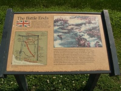
The Battle Ends
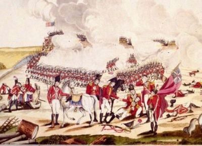
Major General Keane, commanding the British near the river; sent the 93rd Highlanders to lead a second assault. They crossed the field, moving towards Gibbs’ troops on the British right.This regiment was decimated with grapeshot and musket fire. A few men reached the rampart, but found no fascines or ladders or help. They were quickly killed or captured. When their commander, Colonel Dale, was killed, the advance of the 93rd failed and the remaining troops retreated in disarray. Their withdrawal threw the rest of the British army into confusion and the men lost all sense of formation, retreating in terror and panic.
Erected by National Park Service.
Topics. This historical marker is listed in this topic list: War of 1812.
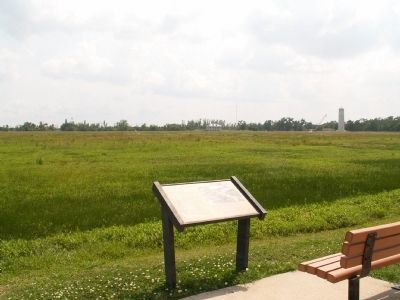
Location. Marker has been reported missing. It was located near 29° 56.651′ N, 89° 59.355′ W. Marker was in Chalmette, Louisiana, in St. Bernard Parish. Marker was on Battlefield Road, on the left when traveling west. Marker is located inside Chalmette Battlefield. Touch for map. Marker was in this post office area: Chalmette LA 70043, United States of America. Touch for directions.
Other nearby markers. At least 8 other markers are within walking distance of this location. Pakenham's Fall (a few steps from this marker); The Main Attack (a few steps from this marker); Roads and Ditches (approx. 0.2 miles away); Here We Honor Veterans Who Served Their Country (approx. 0.2 miles away); Chalmette National Cemetery (approx. 0.2 miles away); a different marker also named Chalmette National Cemetery (approx. 0.2 miles away); Serving Those Who Saved Us (approx. 0.2 miles away); Batteries Seven and Eight (approx. 0.2 miles away). Touch for a list and map of all markers in Chalmette.
More about this marker. On the right side of the marker is an illustration of the fighting showing some of the Highland regiments in action. On the left is a map showing the British movements on the battlefield, captioned Great Britain lost more than 2,000 men in an infantry action that lasted less than two hours.
Additional keywords. Battle of New Orleans, Chalmette Battlefield
Credits. This page was last revised on January 14, 2023. It was originally submitted on March 15, 2008, by Bryan Olson of Syracuse, New York. This page has been viewed 1,699 times since then and 15 times this year. Photos: 1, 2, 3. submitted on March 15, 2008, by Bryan Olson of Syracuse, New York. • Craig Swain was the editor who published this page.


