Kill Devil Hills in Dare County, North Carolina — The American South (South Atlantic)
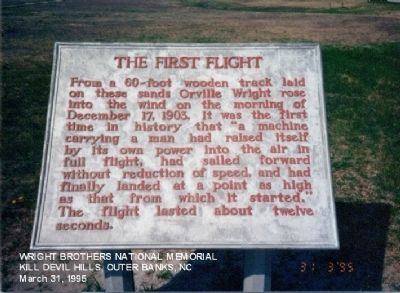
The First Flight
Topics. This historical marker is listed in this topic list: Air & Space. A significant historical date for this entry is December 17, 1814.
Location. 36° 1.2′ N, 75° 40.086′ W. Marker is in Kill Devil Hills, North Carolina, in Dare County. Marker is on North Croatian Highway. Touch for map. Marker is at or near this postal address: 1000 North Croatian Highway, Kill Devil Hills NC 27948, United States of America. Touch for directions.
Other nearby markers. At least 8 other markers are within walking distance of this marker. Field for Flight (within shouting distance of this marker); Four Powered Flights (within shouting distance of this marker); Home Away From Home (within shouting distance of this marker); Wind, Sand, & Isolation (within shouting distance of this marker); First Flights: December 17th, 1903 (within shouting distance of this marker); The Camp (within shouting distance of this marker); Commemoration (within shouting distance of this marker); The First Successful Flight of an Airplane (within shouting distance of this marker). Touch for a list and map of all markers in Kill Devil Hills.
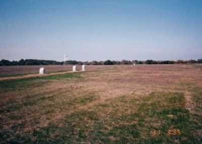
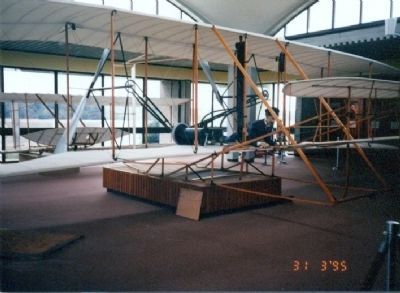
Photographed By Don Morfe, March 31, 1995
4. The First Flight Marker
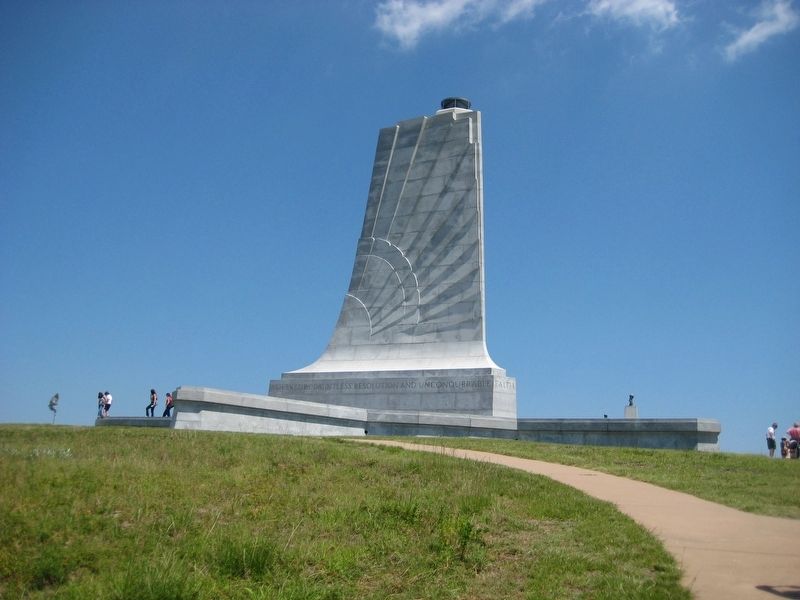
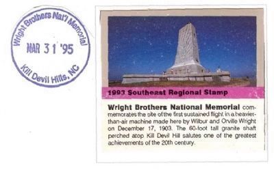
National Park Passport Cancellation Stamp-Wright Brothers National Memorial commemorates the site of the first sustained flight in a heavier-than-air machine made here by Wilbur and Orville Wright on December 17, 1903. The 60-foot tall granite shaft perched atop Kill Devil Hill salutes one of the greatest achievements of the 20th Century.
Credits. This page was last revised on January 8, 2020. It was originally submitted on January 10, 2013, by Don Morfe of Baltimore, Maryland. This page has been viewed 886 times since then and 50 times this year. Photos: 1, 2, 3, 4. submitted on January 10, 2013, by Don Morfe of Baltimore, Maryland. 5. submitted on August 17, 2008, by F. Robby of Baltimore, Maryland. • Craig Swain was the editor who published this page.
