Near Petersburg in Dinwiddie County, Virginia — The American South (Mid-Atlantic)
Petersburg Breakthrough Battlefield
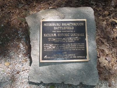
Inscription.
National Historic Landmark
This site possesses national significance
in commemorating the history of the
United States of America.
In the predawn darkness of April 2, 1865, the Union Sixth Corps
successfully breached the Confederate defenses southwest of Petersburg.
The breakthrough forced the Confederate evacuation of Petersburg
and Richmond, hastening an end to four years of civil war.
Erected 2006 by National Park Service, United States Department of the Interior.
Topics and series. This historical marker is listed in this topic list: War, US Civil. In addition, it is included in the National Historic Landmarks series list. A significant historical date for this entry is April 2, 1917.
Location. 37° 10.823′ N, 77° 28.513′ W. Marker is near Petersburg, Virginia, in Dinwiddie County. Marker is on Duncan Road (Virginia Route 670), on the left when traveling south. Touch for map. Marker is at or near this postal address: 6523 Duncan Rd, Petersburg VA 23803, United States of America. Touch for directions.
Other nearby markers. At least 8 other markers are within walking distance of this marker. The Breakthrough Trail (a few steps from this marker); The Confederate Fortifications (a few steps from this marker); McGowan’s South Carolina Brigade (within shouting distance of this marker); Confederate Winter Quarters (within shouting distance of this marker); Confederate Winter Huts (within shouting distance of this marker); “The Strongest Line of Works Ever Constructed” (within shouting distance of this marker); 1st Lieutenant Octavius Augustus Wiggins (about 300 feet away, measured in a direct line); Lieutenant Colonel George B. Damon (about 300 feet away). Touch for a list and map of all markers in Petersburg.
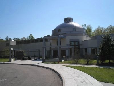
More about this marker. Marker is in Pamplin Historical Park, near the Breakthrough Trail.
Also see . . .
1. Pamplin Historical Park. (Submitted on March 15, 2008, by Bill Coughlin of Woodland Park, New Jersey.)
2. Petersburg Breakthrough Battlefield. National Landmark documentation. (Submitted on March 15, 2008, by Craig Swain of Leesburg, Virginia.)

Photographed By Bill Coughlin, April 23, 2007
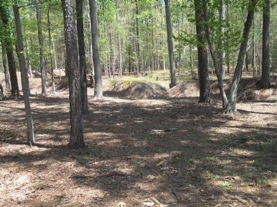
2. Site of the Petersburg Breakthrough
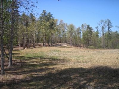
These earthworks mark the site where the Union 6th Corps. finally broke through the Confederate's Petersburg line. This breakthrough led to the evacuation of Petersburg and Richmond, and Lee's retreat toward Appomattox. The Breakthrough is located in Pamplin Historical Park.
Credits. This page was last revised on February 2, 2023. It was originally submitted on March 15, 2008, by Bill Coughlin of Woodland Park, New Jersey. This page has been viewed 1,841 times since then and 31 times this year. Photos: 1, 2, 3, 4. submitted on March 15, 2008, by Bill Coughlin of Woodland Park, New Jersey. • Craig Swain was the editor who published this page.


