Jasper in Marion County, Tennessee — The American South (East South Central)
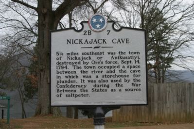
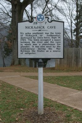
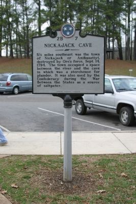
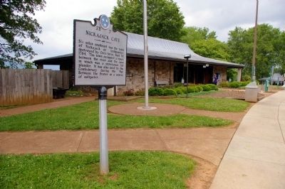
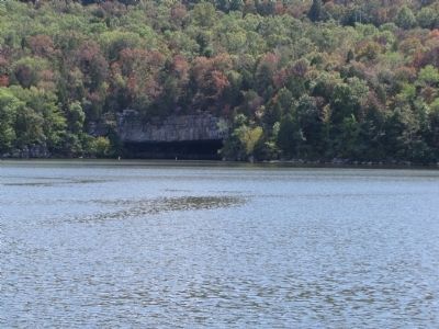
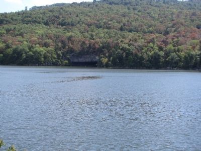
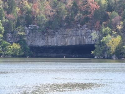
Nickajack Cave
Erected by Tennessee Historical Commission. (Marker Number 2B 7.)
Topics and series. This historical marker is listed in these topic lists: Landmarks • Native Americans • Natural Features • War, US Civil. In addition, it is included in the Tennessee Historical Commission series list. A significant historical date for this entry is September 14, 1863.
Location. Marker is missing. It was located near 35° 1.441′ N, 85° 33.512′ W. Marker was in Jasper, Tennessee, in Marion County. Marker was on Interstate 24. Interstate 24 Eastbound - Mile Marker 160 Rest Area. Touch for map. Marker was in this post office area: Jasper TN 37347, United States of America. Touch for directions.
Other nearby markers. At least 8 other markers are within 4 miles of this location, measured as the crow flies. Civil War in Tennessee (approx. 0.2 miles away); Federal-Georgia Road (approx. 1.1 miles away); Location and Capacity (approx. 1.9 miles away); Hales Bar Dam (approx. 1.9 miles away); Running Water Creek Bridge (approx. 3.1 miles away); Love's Ferry (approx. 3.1 miles away); Ebenezer Cumberland Presbyterian Church (approx. 3½ miles away); The TVA System of Multipurpose Dams (approx. 3.9 miles away). Touch for a list and map of all markers in Jasper.
More about this marker. Marker has gone missing, according to Google Street View, prior to 2018.
Also see . . .
1. Nickajack Cave. Now partly flooded by Nickajack Lake, it was used in the War of 1812 and the Civil War for military purposes. However not all the cave's history is military related. Country singer Johnny Cash experienced a life changing event in the cave in 1968. (Submitted on January 4, 2008, by Craig Swain of Leesburg, Virginia.)
2. Miracle at Nickajack Cave. This is the story of a cave rescue. (Submitted on October 9, 2008, by David Tibbs of Resaca, Georgia.)
Additional keywords. Major James Ore
Credits. This page was last revised on June 28, 2022. It was originally submitted on January 3, 2008, by R. E. Smith of Nashville, Tennessee. This page has been viewed 5,234 times since then and 26 times this year. Last updated on January 12, 2013, by Byron Hooks of Sandy Springs, Georgia. Photos: 1, 2, 3. submitted on January 3, 2008, by R. E. Smith of Nashville, Tennessee. 4. submitted on April 23, 2009, by Stanley and Terrie Howard of Greer, South Carolina. 5. submitted on May 27, 2009, by David Seibert of Sandy Springs, Georgia. 6, 7, 8. submitted on September 11, 2011, by Lee Hattabaugh of Capshaw, Alabama. 9. submitted on October 9, 2008, by David Tibbs of Resaca, Georgia. • Craig Swain was the editor who published this page.
