Hollywood in St. Mary's County, Maryland — The American Northeast (Mid-Atlantic)
Tobacco's Impact
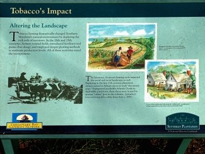
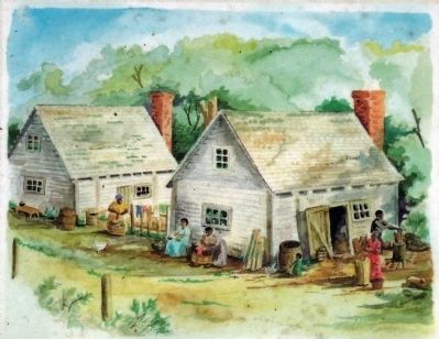
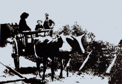
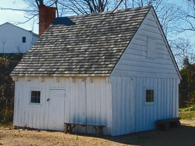
The laborious, 14 month farming cycle impacted the social and racial landscapes, as well. Beginning in the late 17th century plantation owners turned to African slaves to work the "the money crop." Transported across the Atlantic Ocean in deplorable conditions, these slaves were housed in spartan "cabins" here in the colonies. Sotterley's lone surviving slave cabin dates from c. 1850.
Erected by Chesapeake Bay Gateways Network.
Topics. This historical marker is listed in these topic lists: African Americans • Agriculture. A significant historical year for this entry is 1850.
Location. 38° 22.554′ N, 76° 32.406′ W. Marker is in Hollywood, Maryland, in St. Mary's County. Marker can be reached from Sotterley Lane. The marker is on Sotterley Plantation along the rolling road, south of the main house. Touch for map. Marker is at or near this postal address: 44300 Sotterley Lane, Hollywood MD 20636, United States of America. Touch for directions.
Other nearby markers. At least 8 other markers are within 2 miles of this marker , measured as the crow flies. Sotterley's Remaining Slave Cabin (about 300 feet away, measured in a direct line); War Hits Home (about 400 feet away); Remembering Ancestors at the Sotterley Plantation (about 600 feet away); Port of Entry (approx. 0.2 miles away); Rosedale (approx. 1.1 miles away); A Place in Chesapeake History (approx. 2 miles away); June 1814 — War Visits the Patuxent (approx. 2 miles away); Idyllic Retreat — Beach House on the Point (approx. 2 miles away). Touch for a list and map of all markers in Hollywood.
Credits. This page was last revised on June 16, 2016. It was originally submitted on January 14, 2013, by Allen C. Browne of Silver Spring, Maryland. This page has been viewed 434 times since then and 9 times this year. Photos: 1, 2, 3, 4, 5, 6. submitted on January 14, 2013, by Allen C. Browne of Silver Spring, Maryland. • Bill Pfingsten was the editor who published this page.
