Near Grahamstown, Eastern Cape, South Africa — Southern Africa
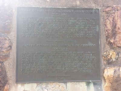
Andrew Geddes Bain, Road Builder and Geologist
1797 - 1864
Inscription.
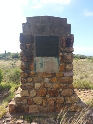
Bain built the queen's road to Fort Beaufort via the Ecca Pass and the road through Pluto's Vale as military roads in 1837-45. His house was then near here on the Ecca Heights. He became interested in Geology in 1837 during the construction of the Queen's Road and in the area visible from this spot he worked out the stratigraphy of the Karoo System, and discovered that fossil reptiles occur in it. Bain was the father of South African Geology.
Erected 1964 by Historical Monument Commission.
Topics. This historical marker is listed in these topic lists: Roads & Vehicles • Science & Medicine. A significant historical year for this entry is 1837.
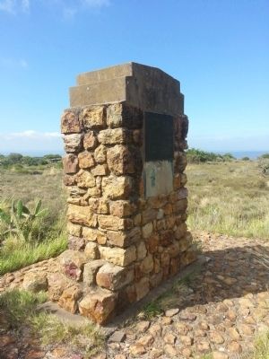
Location. Marker is missing. It was located near 33° 13.717′ S, 26° 37.983′ E. Marker was near Grahamstown, Eastern Cape. Marker was on County Route 67, on the left when traveling north. Touch for map. Marker was in this post office area: Grahamstown EC 6139, South Africa. Touch for directions.
Other nearby markers. At least 5 other markers are within 16 kilometers of this location, measured as the crow flies. The Yellow House (approx. 13.9 kilometers away); Drostdy Gateway (approx. 14 kilometers away); Schönland Building (approx. 14.2 kilometers away); The Old Provost (approx. 14.2 kilometers away); The Bible (approx. 14.8 kilometers away).
More about this marker. Just beyond the marker is the toposcope used by Bain, containing information about the mountains and other geological features visible from the site.
Credits. This page was last revised on November 4, 2018. It was originally submitted on January 15, 2013, by Jay van Zyl of Grahamstown, Eastern Cape. This page has been viewed 1,219 times since then and 18 times this year. Photos: 1, 2, 3. submitted on January 15, 2013, by Jay van Zyl of Grahamstown, Eastern Cape. • Bill Pfingsten was the editor who published this page.


