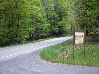
Near McDowell in Highland County, Virginia — The American South (Mid-Atlantic)
Battle of McDowell
Confederates Hold the High Ground
— 1862 Valley Campaign —
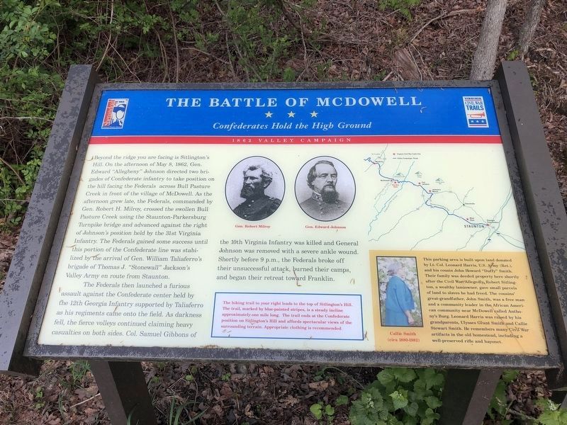
Beyond the ridge you are facing is Sitlington’s Hill. On the afternoon of May 8, 1862, Gen. Edward “Allegheny” Johnson directed two brigades of Confederate infantry to take position on the hill facing the Federals across Bull Pasture Creek in front of the village of McDowell. As the afternoon grew late, the Federals, commanded by Gen. Robert H. Milroy, crossed the swollen Bull Pasture Creek using the Staunton-Parkersburg Turnpike bridge and advanced against the right of Johnson’s position held by the 31st Virginia Infantry. The Federals gained some success until this portion of the Confederate line was stabilized by the arrival of Gen. William Taliaferro’s brigade of Thomas J. “Stonewall” Jackson’s Valley Army en route from Staunton.
The Federals launched a furious assault against the Confederate center held by the 12th Georgia Infantry supported by Taliaferro as his regiments came onto the field. As darkness fell, the fierce volleys continued claiming heavy casualties on both sides. Col. Samuel Gibbons of the 10th Virginia Infantry was killed as General Johnson was removed with a severe ankle wound. Shortly before 9 p.m., the Federals broke off their unsuccessful attack, burned their camps, and began their retreat toward Franklin.
(Sidebars):
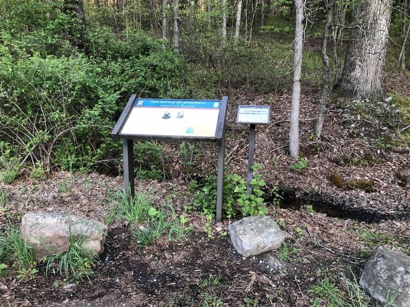
1) The hiking trail to your right leads to the top of Sitlington’s Hill. The trail, marked by blue-painted stripes, is a steady incline approximately one mile long. The trail ends at the Confederate position on Sitlington’s Hill and affords spectacular views of the surrounding terrain. Appropriate clothing is recommended.
2) Callie Smith (cira 1880-1982) This parking area is built upon land donated by Lt. Col. Leonard Harris, U.S. Army (Ret.) and his cousin John Howard “Duffy” Smith. Their family was deeded property here shortly after the Civil War. Allegedly, Robert Sitlington, a wealthy landowner, gave small parcels of land to slaves he had freed. The cousins’ great grandfather, John Smith, was a free man and community leader in the African American community near McDowell called Anthony’s Burg. Leonard Harris was raised by his grandparents, Ulysses Grant Smith and Callie Stewart Smith. He remembers many Civil War artifacts in the old homestead, including a well-preserved rifle and bayonet.
Erected by Virginia Civil War Trails.
Topics and series. This historical marker is listed in this topic list: War, US Civil. In addition, it is included in the Virginia Civil War Trails series list. A significant historical date for this entry is May 8, 1887.
Location. Marker has been reported permanently removed. It was located near 38° 19.457′
We have been informed that this sign or monument is no longer there and will not be replaced. This page is an archival view of what was.
Other nearby markers. At least 8 other markers are within walking distance of this location. A Road From The Past (a few steps from this marker); a different marker also named Battle of McDowell (a few steps from this marker); Anthony's Burg (a few steps from this marker); Confederates Hold the High Ground (about 500 feet away, measured in a direct line); Two Plans Of Attack (approx. 0.2 miles away); Moving Uphill (approx. ¼ mile away); The Ravines (approx. 0.3 miles away); The Confederate Right (approx. 0.4 miles away). Touch for a list and map of all markers in McDowell.
More about this marker. The marker features portraits of Generals Robert Milroy and Edward Johnson.
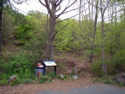
The location of the trash can, chained to this marker, is unfortunate. The stench and the flies and yellow jacket wasps makes it difficult to linger to read. —J.J.Prats
Credits. This page was last revised on January 17, 2024. It was originally submitted on March 4, 2009, by Robert H. Moore, II of Winchester, Virginia. This page has been viewed 2,251 times since then and 46 times this year. Last updated on August 21, 2020, by Carl Gordon Moore Jr. of North East, Maryland. Photos: 1, 2. submitted on May 8, 2021, by Devry Becker Jones of Washington, District of Columbia. 3. submitted on May 5, 2010, by J. J. Prats of Powell, Ohio. 4. submitted on March 4, 2009, by Robert H. Moore, II of Winchester, Virginia. 5. submitted on May 5, 2010, by J. J. Prats of Powell, Ohio. • Bernard Fisher was the editor who published this page.
