Whiteville in Hardeman County, Tennessee — The American South (East South Central)
Hardeman County/Fayette County
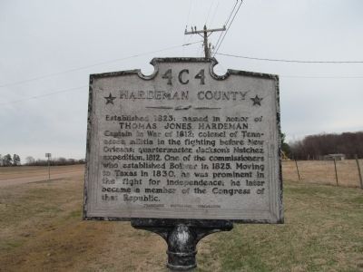
Hardeman County
Established 1823: named in honor of
Thomas Jones Hardeman
Captain in War of 1812; colonel of Tennessee militia in the fighting before New Orleans; quartermaster, Jackson’s Natchez expedition, 1812. One of the commissioners who established Bolivar in 1825. Moving to Texas in 1830, he was prominent in the fight for independence; he later became a member of the Congress of that Republic.
(reverse)
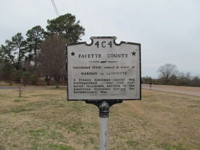
Fayette County
Established 1824: named in honor of
Marquis de LaFayette
A French nobleman – patriot and distinguished soldier who rendered invaluable service to the American Colonies during the Revolutionary War.
Erected by Tennessee Historical Commission. (Marker Number 4C 4.)
Topics and series. This historical marker is listed in this topic list: Political Subdivisions. In addition, it is included in the Tennessee Historical Commission series list. A significant historical year for this entry is 1823.
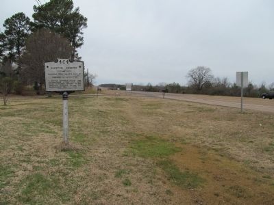
Location. 35° 18.531′ N, 89° 11.214′ W. Marker is in Whiteville, Tennessee, in Hardeman County. Marker is on U.S. 64, one mile west of Ferguson Road, on the left when traveling west. Touch for map. Marker is at or near this postal address: 106 Hwy 100W, Whiteville TN 38075, United States of America. Touch for directions.
Other nearby markers. At least 8 other markers are within 12 miles of this marker, measured as the crow flies. James K. Polk / James C. Jones (approx. 9 miles away); Burchett Douglass (approx. 9 miles away); Dancyville United Methodist Church (approx. 9 miles away); Battle of Middleburg (approx. 9˝ miles away); Organization of Fayette County (approx. 10.3 miles away); Tent City (approx. 11 miles away); Sassafras Mill (approx. 11.2 miles away); Polk Cemetery (approx. 11.6 miles away).
Credits. This page was last revised on June 16, 2016. It was originally submitted on February 7, 2013, by Judith Barber of Marietta, Georgia. This page has been viewed 483 times since then and 18 times this year. Photos: 1, 2, 3. submitted on February 7, 2013, by Judith Barber of Marietta, Georgia. • Bernard Fisher was the editor who published this page.


