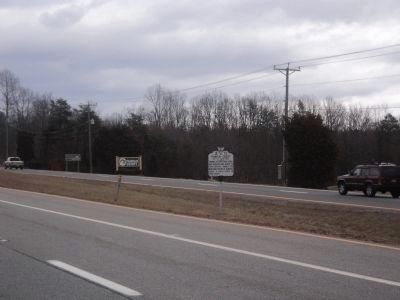
Franklin County / Henry County
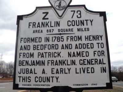
Franklin County. Area 697 Square Miles. Formed in 1785 from Henry and Bedford and added to from Patrick. Named for Benjamin Franklin. General Jubal A. Early lived in this county.
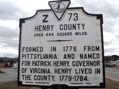
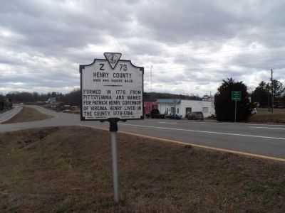
Henry County. Area 444 Square Miles. Formed in 1776 from Pittsylvania, and named for Patrick Henry, Governor of Virginia. Henry lived in the County, 1779-1784.
Erected 1940 by Virginia Conservation Commission. (Marker Number Z-73.)
Topics and series. This historical marker is listed in this topic list: Political Subdivisions. In addition, it is included in the Virginia Department of Historic Resources (DHR) series list. A significant historical year for this entry is 1785.
Location. 36° 49.106′ N, 79° 55.919′ W. Marker is in Snow Creek, Virginia, in Franklin County. Marker is at the intersection of Virginia Avenue (U.S. 220) and Oak Forest Road (Virginia Route 984), in the median on Virginia Avenue. Touch for map. Marker is in this post office area: Penhook VA 24137, United States of America. Touch for directions.
Other nearby markers. At least 8 other markers are within 10 miles of this marker, measured as the crow flies. Fort Trial (approx. 5.2 miles away); The Historic John D. Bassett High School (approx. 5.3 miles away); First Henry County Courthouse (approx. 5˝ miles
Credits. This page was last revised on July 7, 2021. It was originally submitted on February 10, 2013, by Bill Coughlin of Woodland Park, New Jersey. This page has been viewed 1,079 times since then and 33 times this year. Photos: 1, 2, 3, 4, 5. submitted on February 10, 2013, by Bill Coughlin of Woodland Park, New Jersey.
