Stanleytown in Henry County, Virginia — The American South (Mid-Atlantic)
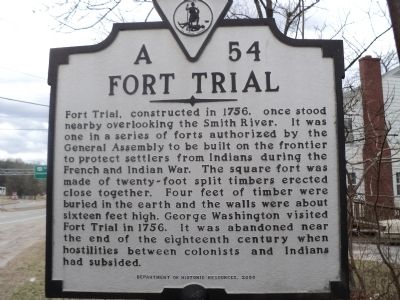
Fort Trial
Erected 2000 by Department of Historic Resources. (Marker Number A-54.)
Topics and series. This historical marker is listed in this topic list: War, French and Indian. In addition, it is included in the Virginia Department of Historic Resources (DHR) series list. A significant historical year for this entry is 1756.
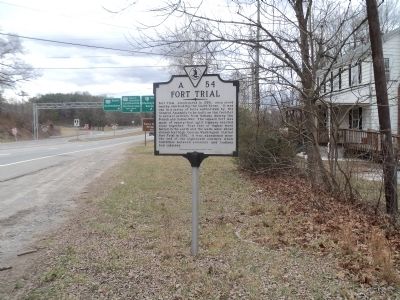
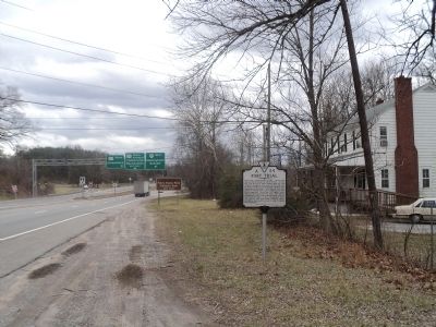
Location. 36° 44.588′ N, 79° 56.213′ W. Marker is in Stanleytown, Virginia, in Henry County. Marker is on Virginia Avenue (U.S. 220) north of Fairystone Park Hwy (Virginia Route 57), on the right when traveling south. Touch for map. Marker is in this post office area: Stanleytown VA 24168, United States of America. Touch for directions.
Other nearby markers. At least 8 other markers are within 5 miles of this marker, measured as the crow flies. First Henry County Courthouse (approx. 0.8 miles away); Waller's Ford (approx. 2.9 miles away); The Historic John D. Bassett High School (approx. 3˝ miles away); The Dick & Willie Passage (approx. 3.8 miles away); Changing Landscapes (approx. 4.1 miles away); a different marker also named The Dick & Willie Passage (approx. 4.3 miles away); Fayette Street (approx. 4.8 miles away); Martinsville's Early Textile Mills (approx. 5 miles away).
Credits. This page was last revised on July 7, 2021. It was originally submitted on February 10, 2013, by Bill Coughlin of Woodland Park, New Jersey. This page has been viewed 803 times since then and 67 times this year. Photos: 1, 2, 3. submitted on February 10, 2013, by Bill Coughlin of Woodland Park, New Jersey.


