Near Tulelake in Siskiyou County, California — The American West (Pacific Coastal)
The End of the Modoc War
— Lava Beds National Monument —
Inscription.
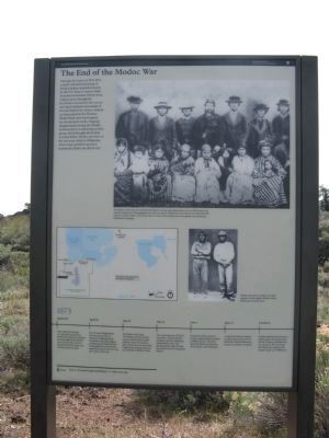
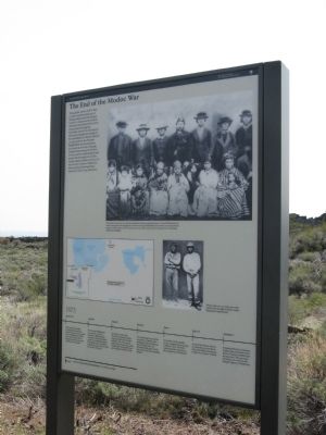
Through the winter of 1872-1873, a vastly outnumbered group of Modoc Indians resisted attempts by the U.S. Army to remove them from their homeland. Driven from Captain Jack's stronghold, the Modoc moved into this area in mid-April. Intimate knowledge of the land helped the Modoc ambush an Army patrol in the Thomas-Wright Battle and avoid capture for several more weeks. Ongoing disagreements among the Modoc, however, led to a splintering of their group, which brought about their eventual defeat. Modoc survivors of the war were exiled to Oklahoma, where many perished and their traditional culture was all but lost.
Erected by National Park Service.
Topics. This memorial is listed in these topic lists: Native Americans • Wars, US Indian.
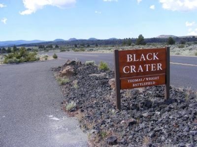
Location. 41° 45.894′ N, 121° 33.39′ W. Marker is near Tulelake, California, in Siskiyou County. Memorial is on Hill Road (County Road 10), on the left when traveling south. The marker is located within the boundaries of the Lava Beds National Monument. Touch for map. Marker is in this post office area: Tulelake CA 96134, United States of America. Touch for directions.
Other nearby markers. At least 8 other markers are within 4 miles of this marker, measured as the crow flies. A Volcanic Classroom (here, next to this marker); Spatter Cones (approx. 0.8 miles away); Ambush at Midday - The Thomas-Wright Battle of April 26, 1873 (approx. 0.9 miles away); Beds of Lava (approx. 1.3 miles away); Civilian Conservation Corps (approx. 2 miles away); Last Meeting of the Peace Commission (approx. 3.7 miles away); Canby Cross (approx. 3.8 miles away); Modoc War Casualties (approx. 4.1 miles away). Touch for a list and map of all markers in Tulelake.
Also see . . . Modoc War. Wikipedia entry (Submitted on June 6, 2023, by Larry Gertner of New York, New York.)
Credits. This page was last revised on June 6, 2023. It was originally submitted on February 12, 2013, by Don Morfe of Baltimore, Maryland. This page has been viewed 605 times since then and 22 times this year. Photos: 1, 2. submitted on February 22, 2013, by Syd Whittle of Mesa, Arizona. 3. submitted on February 12, 2013, by Don Morfe of Baltimore, Maryland. • Syd Whittle was the editor who published this page.


