Columbia in Richland County, South Carolina — The American South (South Atlantic)
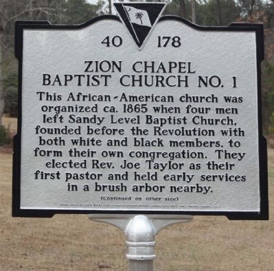
Zion Chapel Baptist Church No. 1
This African-American church was
organized ca. 1865 when four men
left Sandy Level Baptist Church,
founded before the Revolution with
both white and black members, to
form their own congregation. They
elected Rev. Joe Taylor as their
first pastor and held early services
in a brush arbor nearby.
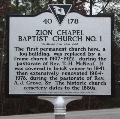
(Reverse text)
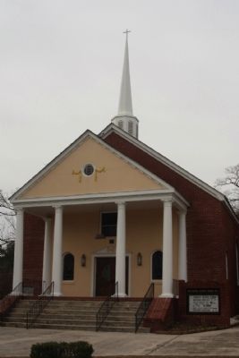
The first permanent church here, a
log building, was replaced by a
frame church 1907-1922, during the
pastorate of Rev. T. H. McNeal. It
was covered in brick veneer in 1941,
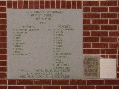
then extensively renovated 1964-
1978, during the pastorate of Rev.
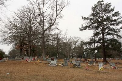
A.J. Grove, Sr. The historic church
cemetery dates to the 1880s.
Erected 2013 by The Richland County Conservation Commission and the Congregation. (Marker Number 40-178.)
Topics. This historical marker is listed in these topic lists: African Americans • Churches & Religion. A significant historical year for this entry is 1865.
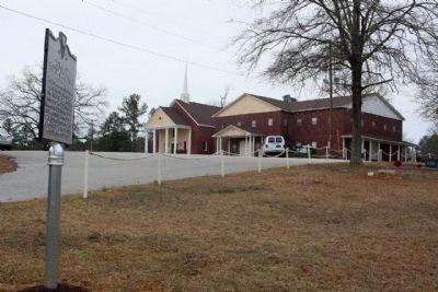
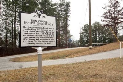
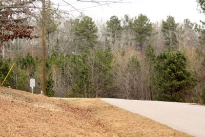
Location. 34° 5.588′ N, 81° 1.68′ W. Marker is in Columbia, South Carolina, in Richland County. Marker is on Walter Hills Road near Fairfield Road (U.S. 321), on the right when traveling west. Located at the church driveway. Touch for map. Marker is at or near this postal address: 130 Walter Hills Road, Columbia SC 29203, United States of America. Touch for directions.
Other nearby markers. At least 8 other markers are within 5 miles of this marker, measured as the crow flies. Monteith School (approx. 2.2 miles away); Benjamin Mack House (approx. 2.9 miles away); I. DeQuincey Newman House (approx. 3.9 miles away); Camp Johnson (approx. 4.2 miles away); South Carolina Female Collegiate Institute (approx. 4.7 miles away); Dentsville School (approx. 4.8 miles away); I. DeQuincey Newman Freeway (approx. 4.8 miles away); Geiger Ave. Cemetery (approx. 4.9 miles away). Touch for a list and map of all markers in Columbia.
Credits. This page was last revised on June 16, 2016. It was originally submitted on February 15, 2013, by Mike Stroud of Bluffton, South Carolina. This page has been viewed 902 times since then and 81 times this year. Photos: 1, 2, 3, 4, 5, 6, 7, 8. submitted on February 15, 2013, by Mike Stroud of Bluffton, South Carolina.
