Hutchinson in Reno County, Kansas — The American Midwest (Upper Plains)
Hutchinson Gas Crisis
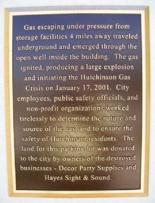
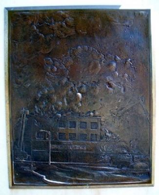
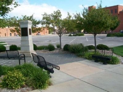
Gas escaping under pressure from storage facilities 4 miles away traveled underground and emerged through the open well inside the building. The gas ignited, producing a large explosion and initiating the Hutchinson Gas Crisis on January 17, 2001. City employees, public safety officials, and non-profit organizations worked tirelessly to determine the nature and source of the gas, and to ensure the safety of Hutchinson residents. The land for this parking lot was donated to the city by owners of the destroyed businesses - Decor Party Supplies and Hayes Sight & Sound.
Topics. This historical marker is listed in this topic list: Disasters. A significant historical month for this entry is January 1861.
Location. 38° 3.218′ N, 97° 55.998′ W. Marker is in Hutchinson, Kansas, in Reno County. Marker is at the intersection of Washington Street and 1st Avenue, on the right when traveling north on Washington Street. Touch for map. Marker is in this post office area: Hutchinson KS 67501, United States of America. Touch for directions.
Other nearby markers. At least 8 other markers are within walking distance of this marker. Coliseum Hotel and Saltwater Natatorium (here, next to this marker); Reno House (about 400 feet away, measured in a direct line); Strand Theater (about 400 feet away); Stallman Block (about 400 feet away); European Hotel (about 500 feet away); Wiley Building (about 500 feet away); Bussinger Clothiers (about 500 feet away); Krous Building (about 500 feet away). Touch for a list and map of all markers in Hutchinson.
Also see . . .
1. Hutchinson, Kansas: A Geologic Detective Story. GeoTimes website entry (Submitted on February 20, 2013, by William Fischer, Jr. of Scranton, Pennsylvania.)
2. Hutchinson, Kansas, Response Project website. "Geologic Factors Controlling Natural Gas Distribution Related to the January 2001 Gas Explosions in Hutchinson, Kansas" (Submitted on February 20, 2013, by William Fischer, Jr. of Scranton, Pennsylvania.)
Credits. This page was last revised on January 29, 2022. It was originally submitted on February 20, 2013, by William Fischer, Jr. of Scranton, Pennsylvania. This page has been viewed 472 times since then and 39 times this year. Photos: 1, 2, 3. submitted on February 20, 2013, by William Fischer, Jr. of Scranton, Pennsylvania.


