Yosemite National Park in Mariposa County, California — The American West (Pacific Coastal)
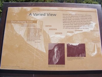
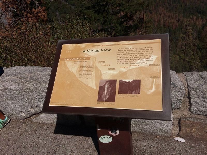
A Varied View
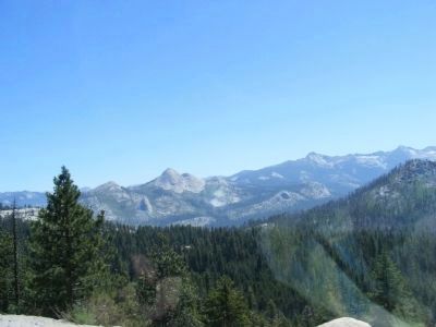
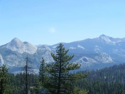
Tunnel View - Yosemite National Park
Ever-Changing Scene
In Yosemite, you may never witness the same scene twice.
This grand show is eternal. It is always sunrise, somewhere; the dew is never all dried at once; a shower is forever falling; vapor ever rising. Eternal sunrise, eternal sunset, eternal dawn and gloaming, on seas and continents and islands, each in its turn, as the round earth rolls.
- John Muir
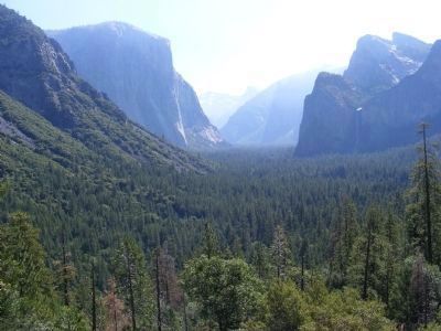
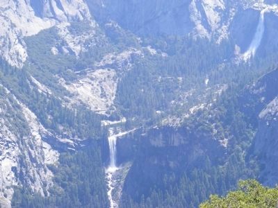
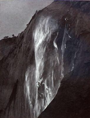
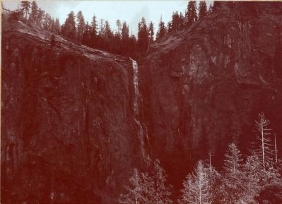
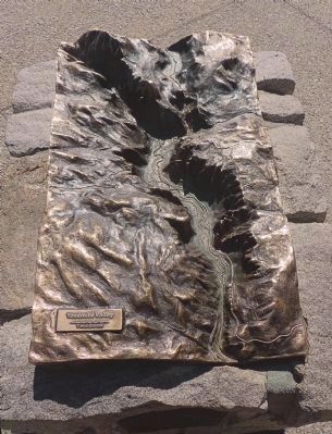
Whether spring or fall, morning or afternoon, one has the opportunity to experience an ever changing view. In summer, clouds glide amidst granite peaks. Fall splashes autumn hues upon maple and oak trees across the Valley floor. Winter brings snow, accenting the subtle details of granite walls, while spring breathes life back into ephemeral waterfalls and renews the echo of rushing throughout the Valley.
Erected by National Park Service.
Topics. This historical marker is listed in this topic list: Natural Features.
Location. 37° 43.296′ N, 119° 38.886′ W. Marker is in Yosemite National Park, California, in Mariposa County. Marker can be reached from Southside Drive, on the left when traveling east. Touch for map. Marker is in this post office area: Yosemite National Park CA 95389, United States of America. Touch for directions.
Other nearby markers. At least 8 other markers are within 4 miles of this marker, measured as the crow flies. A View Through Time (here, next to this marker); El Capitan (about 500 feet away, measured in a direct line); Glaciers at the Gate (about 500 feet away); Disappearing Waterfalls (approx. 0.4 miles away); President Theodore Roosevelt & John Muir Meeting Site (approx. ¾ mile away); Rewards of Travel (approx. 1.6 miles away); The Ahwahneechee (approx. 3.3 miles away); James Hutchings (approx. 3½ miles away). Touch for a list and map of all markers in Yosemite National Park.
Credits. This page was last revised on February 21, 2022. It was originally submitted on March 2, 2013, by Don Morfe of Baltimore, Maryland. This page has been viewed 756 times since then and 57 times this year. Photos: 1. submitted on March 2, 2013, by Don Morfe of Baltimore, Maryland. 2. submitted on February 15, 2022, by Adam Margolis of Mission Viejo, California. 3, 4, 5, 6, 7. submitted on March 2, 2013, by Don Morfe of Baltimore, Maryland. 8, 9, 10. submitted on June 14, 2015, by Allen C. Browne of Silver Spring, Maryland. • Syd Whittle was the editor who published this page.
Editor’s want-list for this marker. Wide area view of the marker and its surroundings. • Can you help?
