Takoma in Northwest Washington in Washington, District of Columbia — The American Northeast (Mid-Atlantic)
Battleground National Cemetery
Rock Creek Park
— National Park Service, U.S. Department of the Interior —
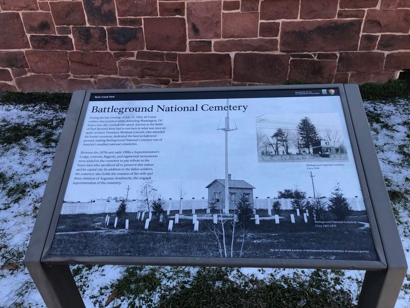
Photographed By Devry Becker Jones (CC0), February 21, 2021
1. Battleground National Cemetery Marker
During the late evening of July 12, 1864, 40 Union soldiers that perished while defending Washington DC from a two day Confederate attack (known as the Battle of Fort Stevens) were laid to rest here in what was once an apple orchard. President Abraham Lincoln, who attended the burial ceremony, dedicated the land as hallowed ground, making Battlefield National Cemetery one of America's smallest national cemeteries.
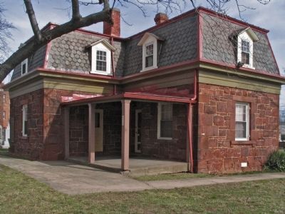
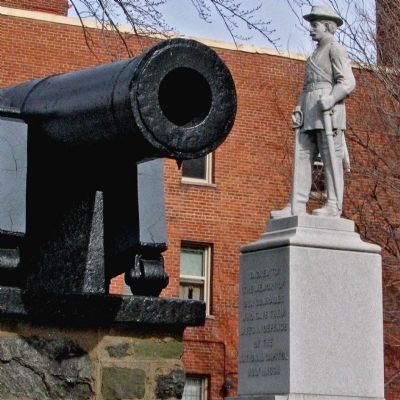
Between the 1870s and early 1900s a Superintendent's Lodge, rostrum, flagpole, and regimental monuments were added to the cemetery to pay tribute to the brave men who sacrificed all to preserve this nation and its capital city. In addition to the fallen soldiers, the cemetery also holds the remains of the wife and three children of August Armbrecht, the original superintendent of the cemetery.
Erected by National Park Service, U.S. Department of the Interior.
Topics and series. This historical marker is listed in these topic lists: Cemeteries & Burial Sites • War, US Civil. In addition, it is included in the Defenses of Washington, and the National Cemeteries series lists. A significant historical date for this entry is July 12, 1864.
Location. 38° 58.242′ N, 77° 1.617′ W. Marker is in Northwest Washington in Washington , District of Columbia. It is in Takoma. Marker can be reached from Georgia Avenue Northwest (U.S. 29) just north of Van Buren Street Northwest, on the right when traveling north. The marker is near the entrance of Battleground National Cemetery. Touch for map. Marker is at or near this postal address: 6625 Georgia Avenue Northwest, Washington DC 20012, United States of America. Touch for directions.
Other nearby markers. At least 8 other markers are within walking distance of this marker. Roll Call (here, next to this marker); The 25th New York Cavalry (a few steps from this marker); a different marker also named Battleground National Cemetery (a few steps from this marker); 98th Pennsylvania Infantry (a few steps from this marker); The 122nd New York Volunteer Infantry (a few steps from this marker); Company K, 150th Ohio National Guard Infantry (a few steps from this marker); Automobiling on The Avenue (about 600 feet away, measured in a direct line); Site of a Tulip Tree (approx. 0.2 miles away). Touch for a list and map of all markers in Northwest Washington.
Also see . . . Battleground National Cemetery - National Park Service. (Submitted on March 6, 2013, by Bill Pfingsten of Bel Air, Maryland.)
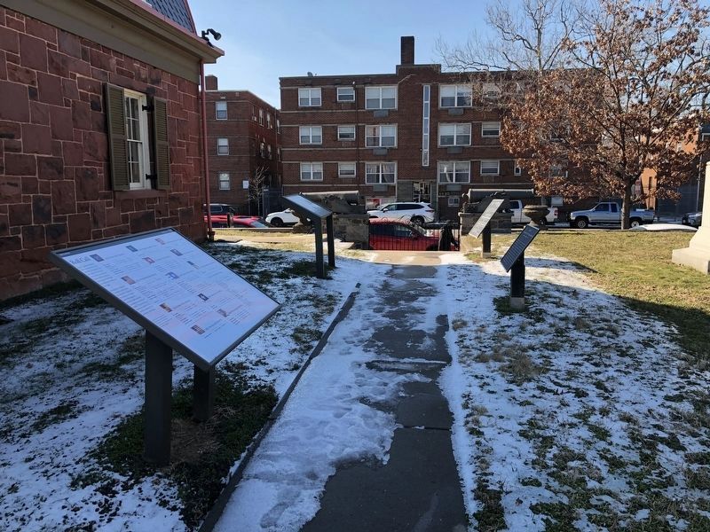
Photographed By Devry Becker Jones (CC0), February 21, 2021
2. Battleground National Cemetery Marker
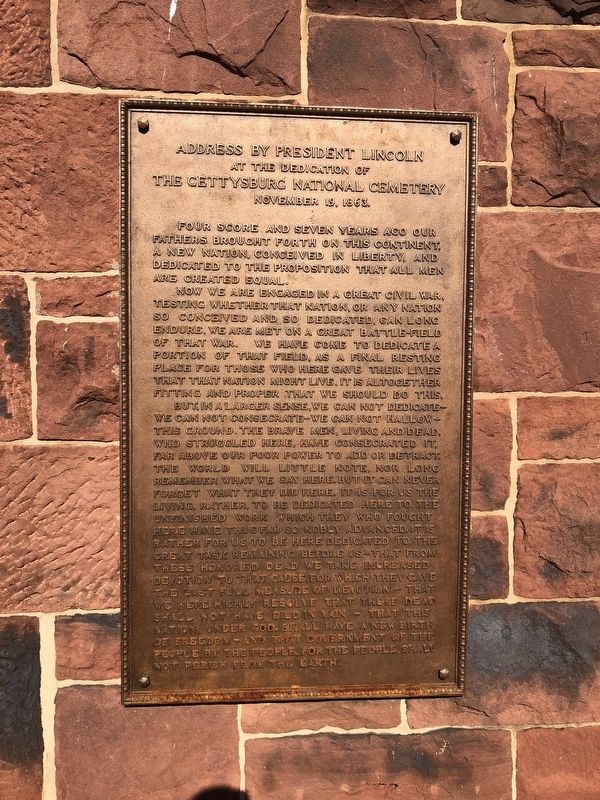
Photographed By Devry Becker Jones (CC0), June 14, 2018
5. Plaque showing the Gettysburg Address at the house on the cemetery grounds
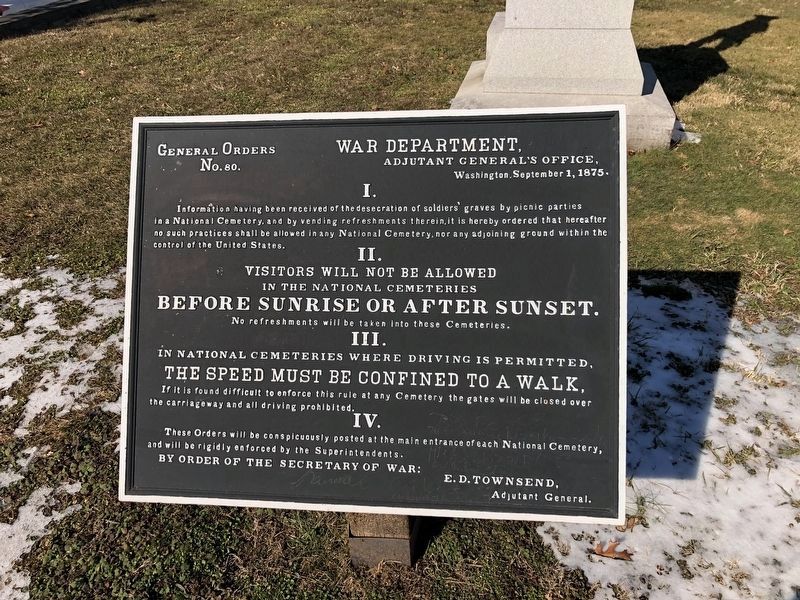
Photographed By Devry Becker Jones (CC0), February 21, 2021
6. Additional signage on the grounds of the cemetery
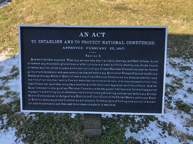
Photographed By Devry Becker Jones (CC0), February 21, 2021
7. Additional signage on the grounds of the cemetery
Credits. This page was last revised on January 30, 2023. It was originally submitted on March 6, 2013, by Allen C. Browne of Silver Spring, Maryland. This page has been viewed 896 times since then and 19 times this year. Last updated on January 26, 2021, by Bradley Owen of Morgantown, West Virginia. Photos: 1, 2. submitted on February 21, 2021, by Devry Becker Jones of Washington, District of Columbia. 3, 4. submitted on March 6, 2013, by Allen C. Browne of Silver Spring, Maryland. 5. submitted on June 14, 2018, by Devry Becker Jones of Washington, District of Columbia. 6, 7. submitted on February 21, 2021, by Devry Becker Jones of Washington, District of Columbia. • Devry Becker Jones was the editor who published this page.
