Ross in Marin County, California — The American West (Pacific Coastal)
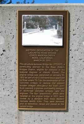
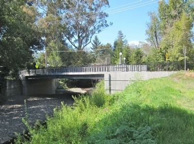
Historic Dedication of the Lagunitas Road Bridge
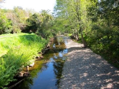
Corte Madera Creek
— Ross, California - March 20, 2011 —
Inscription.
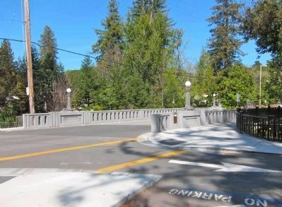
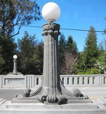
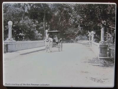
This structure replaces Bridge No. 27C0071, a contributing element to the Ross Historic Bridges District, eligible for inclusion in the National Register of Historic Places. The original bridge was completed on January 13, 1910 as part of a $12,500 bond issue approved by Ross voters 75-7 for the construction of five "concrete bridges to replace the present wooden bridges" throughout the Town. John Buck Leonard, a pioneer and leading designer of reinforced concrete bridges, was the engineer. The four "electroliers," which were installed on the original bridge in 1911, were funded by a donation from Ross resident Harriette deWitte Kittle. They were removed prior to demolition, recast and replaced on the current bridge.
Erected 2011.
Topics. This historical marker is listed in this topic list: Bridges & Viaducts. A significant historical month for this entry is January 1913.
Location. 37° 57.736′ N, 122° 33.403′ W. Marker is in Ross, California, in Marin County. Marker can be reached from the intersection of Lagunitas Road and Sylvan Lane, on the right. Touch for map. Marker is in this post office area: Ross CA 94957, United States of America. Touch for directions.
Other nearby markers. At least 8 other markers are within walking distance of this marker. Ross War Memorial (within shouting distance of this marker); The Original James Ross House (approx. ¼ mile away); Montgomery Chapel (approx. 0.6 miles away); Rev. Dr. Thoedore A, Gill (approx. 0.7 miles away); High Water Mark (approx. 0.8 miles away); a different marker also named High Water Mark (approx. 0.8 miles away); a different marker also named High Water Mark (approx. 0.9 miles away); Paul Chirone (approx. 0.9 miles away). Touch for a list and map of all markers in Ross.
Also see . . . R.I.P. Lagunitas Road Bridge ca. 1908 – 2010. The Friends of Corte Madera Creek's 2010 article presents a history of the old bridge and a preview of the new one. (Submitted on March 29, 2013.)
Credits. This page was last revised on October 8, 2020. It was originally submitted on March 27, 2013, by Andrew Ruppenstein of Lamorinda, California. This page has been viewed 626 times since then and 15 times this year. Photos: 1, 2, 3, 4, 5, 6. submitted on March 27, 2013, by Andrew Ruppenstein of Lamorinda, California. • Syd Whittle was the editor who published this page.
