Picolata in St. Johns County, Florida — The American South (South Atlantic)
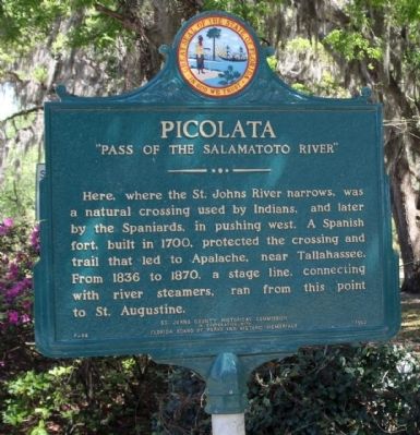
Picolata
"Pass Of The Salamatoto River"
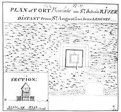
Here where the St. Johns River narrows, was a natural crossing used by Indians, and later by the Spaniards, in pushing west. A Spanish fort, built in 1700, protected the crossing and trail that led to Apalache, near Tallahassee. From 1836 to 1870, a stage line, connecting with river steamers, ran from this point to St. Augustine.
Erected 1962 by St Johns County Historical Commission in Cooperation with Florida Board and Historic Memorials. (Marker Number F-86.)
Topics. This historical marker is listed in these topic lists: Colonial Era • Native Americans • Settlements & Settlers. A significant historical year for this entry is 1700.
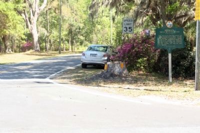
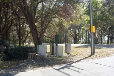
Location. 29° 54.896′ N, 81° 35.579′ W. Marker is in Picolata, Florida, in St. Johns County. Marker is at the intersection of County Road 13 and Picolata Road (County Road 208), on the left when traveling east on County Road 13. Touch for map. Marker is in this post office area: Saint Augustine FL 32092, United States of America. Touch for directions.
Other nearby markers. At least 8 other markers are within 6 miles of this marker, measured as the crow flies. Sanksville Cemetery (approx. 3.9 miles away); Fort San Fransisco de Pupo (approx. 4.9 miles away); St. Augustine Confederate Memorial (approx. 5.2 miles away); William Wing Loring (approx. 5.2 miles away); William Bartram's Plantation (approx. 5.3 miles away); The Bellamy Road (approx. 5.6 miles away); Pratt Whitney R-2800 Twin Wasp Engine (approx. 5.8 miles away); M151 Series Military Utility Tactical Truck (approx. 5.8 miles away).
Also see . . . Fort Picolata. Florida History Online website entry (Submitted on January 9, 2024, by Larry Gertner of New York, New York.)
Credits. This page was last revised on January 9, 2024. It was originally submitted on March 29, 2013, by Mike Stroud of Bluffton, South Carolina. This page has been viewed 1,908 times since then and 254 times this year. Photos: 1. submitted on March 30, 2013, by Mike Stroud of Bluffton, South Carolina. 2. submitted on January 9, 2024, by Larry Gertner of New York, New York. 3, 4. submitted on March 30, 2013, by Mike Stroud of Bluffton, South Carolina.


