Mishawaka in St. Joseph County, Indiana — The American Midwest (Great Lakes)
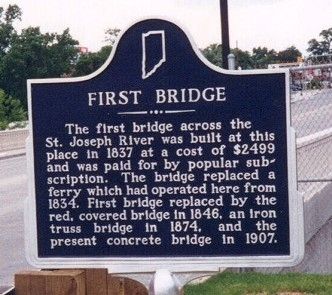
First Bridge
Erected 1968. (Marker Number 71.1968.2.)
Topics and series. This historical marker is listed in this topic list: Bridges & Viaducts. In addition, it is included in the Indiana Historical Bureau Markers series list. A significant historical year for this entry is 1837.
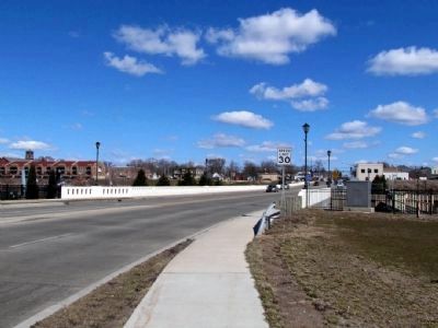
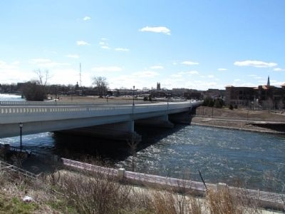
Location. Marker is missing. It was located near 41° 39.845′ N, 86° 10.871′ W. Marker was in Mishawaka, Indiana, in St. Joseph County. Marker could be reached from N. Main St, 0.1 miles north of Front St. Based on a photograph on the Indiana Historical Bureau website, the approximate location of the missing marker is the southeast corner of the bridge. Touch for map. Marker was in this post office area: Mishawaka IN 46544, United States of America. Touch for directions.
Other nearby markers. At least 8 other markers are within walking distance of this location. Ball-Band Factory (about 600 feet away, measured in a direct line); Perkins Windmill (about 700 feet away); First Dam Across The St. Joseph River / Power Race (approx. 0.2 miles away); Mishawaka Fish Ladder (approx. ¼ mile away); Mishawaka Civil War Soldiers Monument (approx. ¼ mile away); The Mishawaka Academic and Normal Institute (approx. 0.4 miles away); Battell Park (approx. 0.4 miles away); Kamm & Schellinger Brewery (approx. 0.4 miles away). Touch for a list and map of all markers in Mishawaka.
Credits. This page was last revised on June 16, 2016. It was originally submitted on April 2, 2013, by Duane Hall of Abilene, Texas. This page has been viewed 629 times since then and 20 times this year. Photos: 1, 2, 3. submitted on April 2, 2013, by Duane Hall of Abilene, Texas. • Bill Pfingsten was the editor who published this page.


