Barboursville in Cabell County, West Virginia — The American South (Appalachia)
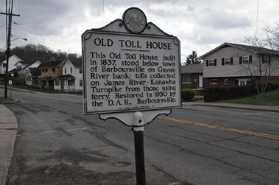
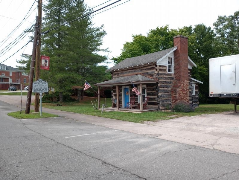
Old Toll House
Erected 1962 by West Virginia Historic Commission.
Topics and series. This historical marker is listed in this topic list: Roads & Vehicles. In addition, it is included in the West Virginia Archives and History series list. A significant historical year for this entry is 1837.
Location. 38° 24.534′ N, 82° 17.602′ W. Marker is in Barboursville, West Virginia, in Cabell County. Marker is on Main St.. Touch for map. Marker is in this post office area: Barboursville WV 25504, United States of America. Touch for directions.
Other nearby markers. At least 8 other markers are within walking distance of this marker. D.A.R. Toll House Museum (a few steps from this marker); 1854 (about 500 feet away, measured in a direct line); 1870 (about 600 feet away); Nancy Cartmill Gardens (about 600 feet away); Barboursville Engagement (about 600 feet away); 1909 (about 600 feet away); WWII Honor Roll (about 700 feet away); Mayors Corner (about 700 feet away). Touch for a list and map of all markers in Barboursville.
Additional keywords. Log buildings, architecture
Credits. This page was last revised on July 3, 2023. It was originally submitted on April 2, 2013. This page has been viewed 816 times since then and 36 times this year. Photos: 1. submitted on April 2, 2013. 2. submitted on July 3, 2023, by Craig Doda of Napoleon, Ohio. • Bill Pfingsten was the editor who published this page.

