Bainbridge in Putnam County, Indiana — The American Midwest (Great Lakes)
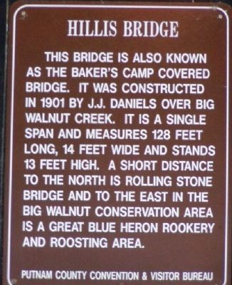
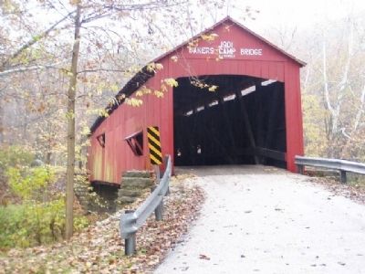
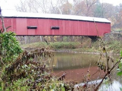
Hillis Bridge
Erected by Putnam County Convention & Visitor Bureau.
Topics and series. This historical marker is listed in this topic list: Bridges & Viaducts. In addition, it is included in the Covered Bridges series list. A significant historical year for this entry is 1901.
Location. 39° 44.943′ N, 86° 46.493′ W. Marker is in Bainbridge, Indiana, in Putnam County. Marker is on East County Road 650 North. From Bainbridge, go east on US 36. About 2 miles from town, you'll come to North (CR) 300 East. Turn south (southeast) on 300 East. It will continue but change names to E 675 North, then it will become E 650 North. The road is level and slowly begins to head downhill. You'll be following the river for about a mile before the road turns to cross the river on the Baker's Camp Covered Bridge. Touch for map. Marker is in this post office area: Bainbridge IN 46105, United States of America. Touch for directions.
Other nearby markers. At least 8 other markers are within 9 miles of this marker, measured as the crow flies. Dunbar Bridge (approx. 8˝ miles away); Handy's Dairy 1916 - -2002 (approx. 8.7 miles away); The Ancient Peoples Who Once Walked Here (approx. 8.7 miles away); Prevo 1900 - 1992 (approx. 8.7 miles away); Women in Greencastle History (approx. 8.7 miles away); Eitel's Flowers (approx. 8.7 miles away); The Founding of Greencastle, Indiana (approx. 8.7 miles away); Cannon's Men's Wear 1891 -- 1985 (approx. 8.7 miles away).
Credits. This page was last revised on June 16, 2016. It was originally submitted on March 21, 2008, by Christopher Light of Valparaiso, Indiana. This page has been viewed 2,003 times since then and 17 times this year. Photos: 1, 2, 3. submitted on March 21, 2008, by Christopher Light of Valparaiso, Indiana. • Craig Swain was the editor who published this page.


