Cumberland Township near Gettysburg in Adams County, Pennsylvania — The American Northeast (Mid-Atlantic)
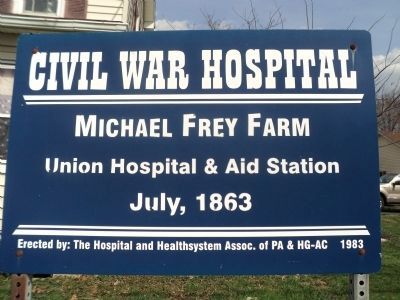
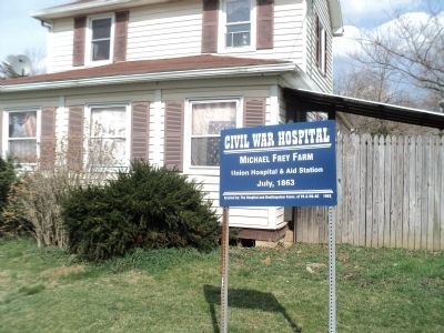
Michael Frey Farm
Civil War Hospital
Union Hospital & Aid Station
July, 1863
Erected 1983 by The Hospital and Healthsystem Assoc. of PA & HG-AC.
Topics. This historical marker is listed in these topic lists: Agriculture • Science & Medicine • War, US Civil. A significant historical month for this entry is July 1863.
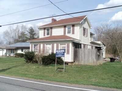
Location. 39° 48.215′ N, 77° 13.787′ W. Marker is near Gettysburg, Pennsylvania, in Adams County. It is in Cumberland Township. Marker is on Taneytown Road (Pennsylvania Route 134) south of Granite Schoolhouse Lane, on the right when traveling north. Touch for map. Marker is at or near this postal address: 534 Taneytown Road, Gettysburg PA 17325, United States of America. Touch for directions.
Other nearby markers. At least 8 other markers are within walking distance of this marker. Battery C, Third U.S. Artillery (about 400 feet away, measured in a direct line); Jacob Swisher Farm (approx. 0.2 miles away); William Patterson Farm (approx. 0.2 miles away); Sarah Patterson Farm (approx. 0.2 miles away); Reverend Father William Corby, C.S.C. (approx. ¼ mile away); New York State Auxiliary Monument (approx. ¼ mile away); Dow's 6th Maine Battery (approx. ¼ mile away); Battery G, 1st New York Light Artillery (approx. ¼ mile away). Touch for a list and map of all markers in Gettysburg.
Credits. This page was last revised on February 7, 2023. It was originally submitted on April 12, 2013, by Bill Coughlin of Woodland Park, New Jersey. This page has been viewed 1,138 times since then and 29 times this year. Photos: 1, 2, 3. submitted on April 12, 2013, by Bill Coughlin of Woodland Park, New Jersey.


