Takoma Park in Montgomery County, Maryland — The American Northeast (Mid-Atlantic)
Early Takoma
Laurel and Carroll Avenues
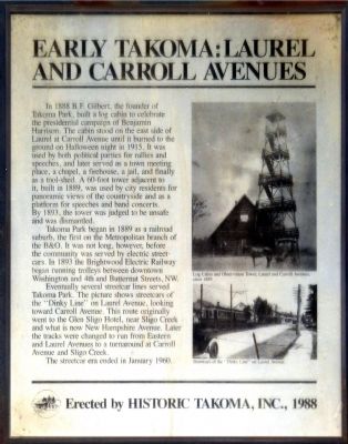
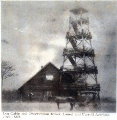
In 1888 B. F. Gilbert, the founder of Takoma Park, built a log cabin to celebrate the presidential campaign of Benjamin Harrison. The cabin stood on the east side of Laurel at Carroll Avenue until it burned to the ground on Halloween in 1915. It was used by both political parties for rallies and speeches, and later served as a town meeting place, a chapel, a firehouse, a jail, and finally a tool-shed. A 60-foot tower adjacent to it built in 1889, was used by city residents for panoramic views of the countryside and as a platform for speeches and band concerts. By 1893, the tower was judged to be unsafe and was dismantled.
Takoma Park began in 1889 as a railroad suburb, the first on the Metropolitan branch of the B&O. It was not long, however, before the community was served by electric street-cars. In 1893 the Brightwood Electric Railway began running trolleys between downtown Washington and the 4th and Butternut Streets, NW.
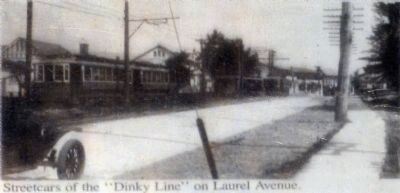
Eventually several streetcar lines served Takoma Park. The picture shows streetcars of the "Dinky Line" on Laurel Avenue , looking toward Carroll Avenue. This route originally went to the Glen Sligo Hotel, near Sligo Creek and what is now New Hampshire Avenue. Later the tracks were changed to run from Eastern and Laurel Avenues to a turnaround at Carroll Avenue and Sligo Creek.
The streetcar era ended in January 1960.
Erected by Historic Takoma, Inc., 1988
Erected 1988 by Historic Takoma, Inc.
Topics and series. This historical marker is listed in these topic lists: Railroads & Streetcars • Settlements & Settlers. In addition, it is included in the Baltimore and Ohio Railroad (B&O), and the Former U.S. Presidents: #23 Benjamin Harrison series lists. A significant historical month for this entry is January 1960.
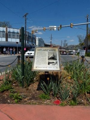
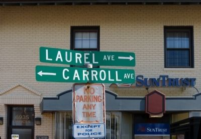
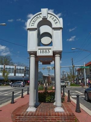
Location. 38° 58.47′ N, 77° 0.739′ W. Marker is in Takoma Park, Maryland, in Montgomery County. Marker is at the intersection of Laurel Avenue and Carroll Avenue, in the median on Laurel Avenue. Marker is in the park at the intersection of Carroll and Laurel Avenues in the center of Takoma Park. Touch for map. Marker is in this post office area: Takoma Park MD 20912, United States of America. Touch for directions.
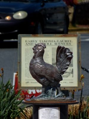
Other nearby markers. At least 8 other markers are within walking distance of this marker. Roscoe (here, next to this marker); Scott H. Lawson (about 300 feet away, measured in a direct line); Original Federal Boundary Stone, District of Columbia, Northeast 2 (about 700 feet away); Union Chapel (approx. 0.2 miles away); The Thomas / Siegler House and Garden (approx. ¼ mile away); DC's Pollinator Network (approx. 0.3 miles away in District of Columbia); Takoma Theatre Timeline (approx. 0.3 miles away in District of Columbia); Takoma Station Tavern (approx. 0.3 miles away in District of Columbia). Touch for a list and map of all markers in Takoma Park.
Credits. This page was last revised on September 28, 2020. It was originally submitted on April 18, 2013, by Allen C. Browne of Silver Spring, Maryland. This page has been viewed 599 times since then and 34 times this year. Photos: 1, 2, 3, 4, 5, 6, 7. submitted on April 18, 2013, by Allen C. Browne of Silver Spring, Maryland. • Bill Pfingsten was the editor who published this page.
