Fair Grove in Greene County, Missouri — The American Midwest (Upper Plains)
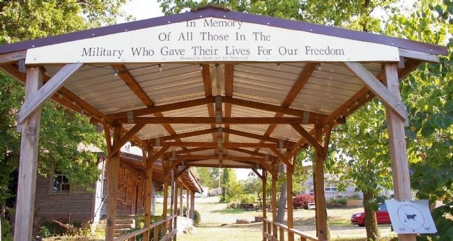
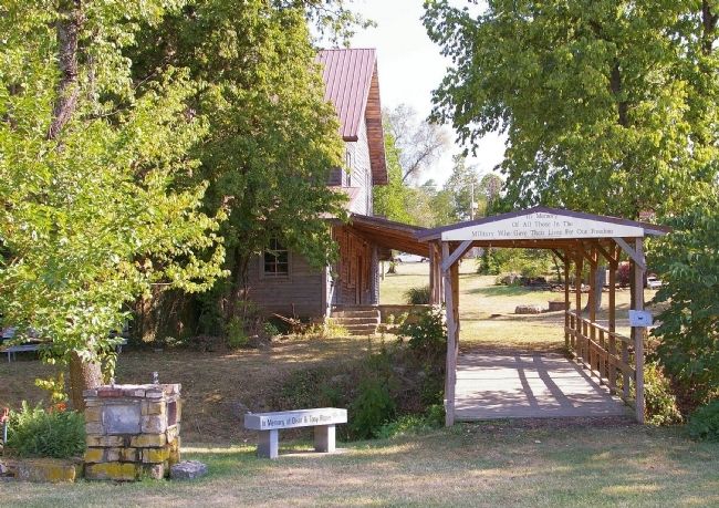
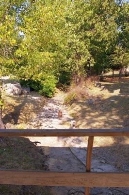
Covered Bridge, Fair Grove, Missouri
Inscription.
In memory of all those in the military who gave their lives for our freedom.
Erected by Frank & Jan Wommack.
Topics and series. This memorial is listed in these topic lists: Bridges & Viaducts • Military. In addition, it is included in the Covered Bridges series list.
Location. 37° 23′ N, 93° 9.033′ W. Marker is in Fair Grove, Missouri, in Greene County. Memorial is on State Highway 125, 0.1 miles east of Main Street, on the right when traveling east. There is a city park at the intersection of SH 125 & Main Street. The bridge is located at the far south end of the park. The directions given will have you parking in the park; otherwise, you can park off of S. Main in the Boegel & Hine (Wommack) Mill parking lot and walk down the hill to the bridge. Touch for map. Marker is in this post office area: Fair Grove MO 65648, United States of America. Touch for directions.
Other nearby markers. At least 8 other markers are within 14 miles of this marker, measured as the crow flies. Boegel and Hine Flour Mill (within shouting distance of this marker); Veterans Memorial (approx. 8.6 miles away); First Springfield Railroad (approx. 12.9 miles away); First Church In Greene County (approx. 13.1 miles away); Gettysburg Address (approx. 13.2 miles away); Indian Mounds (approx. 13˝ miles away); Fairbanks Hall (approx. 13.6 miles away); Tau Eta Gamma (local) (approx. 13.6 miles away).
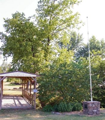
More about this marker. The bridge serves as a walkway between the town park and the town's historic grain mill. There are a number of individual memorials to local citizens near the end of the bridge in the park. Otherwise, there is not much to the park except a pavilion and restrooms. Interestingly, the town does permit those passing through on bikes to use the pavilion as a shelter!
Regarding Covered Bridge, Fair Grove, Missouri. We surmise that the bridge was dedicated in the 1960s. The Wommacks, who built and donated the bridge, were the last operators of the town's mill, which closed in 1969.
This Veterans' Memorial is a testament to the patriotism which exists in small towns even when it has died out in larger places. - If our surmise is correct, this bridge was dedicated during the middle of the VietNam War.
Additional keywords. "Veterans Memorials" "Covered Bridges"
Photographed By M. Blakelylaw, 7
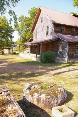
5. Fair Grove, Missouri, Historical District
This photo was taken looking north. The bridge can be seen at the very top of the photo. The large building is the Boegel & Hine (Wommack) Mill, which is the subject of another submission on this site. The object at the bottom of the photo is a grindstone, now being used as a planter on the property adjacent to the mill.
Credits. This page was last revised on December 16, 2020. It was originally submitted on April 22, 2013, by M. Blakelylaw of Southeast, Oklahoma. This page has been viewed 442 times since then and 13 times this year. Photos: 1, 2, 3, 4. submitted on April 22, 2013, by M. Blakelylaw of Southeast, Oklahoma. 5. submitted on April 24, 2013, by M. Blakelylaw of Southeast, Oklahoma. • Al Wolf was the editor who published this page.
