Woodmont in Arlington in Arlington County, Virginia — The American South (Mid-Atlantic)
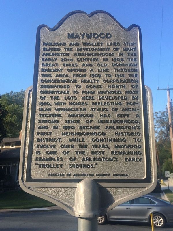
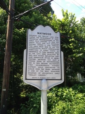
Maywood
Erected by Arlington County.
Topics. This historical marker is listed in these topic lists: Railroads & Streetcars • Settlements & Settlers. A significant historical year for this entry is 1906.
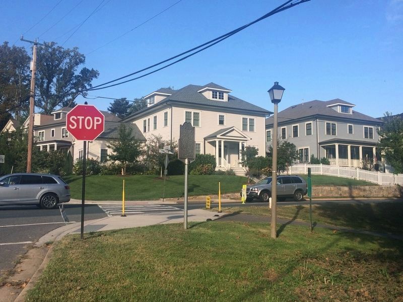
Location. 38° 53.943′ N, 77° 5.759′ W. Marker is in Arlington, Virginia, in Arlington County. It is in Woodmont. Marker is at the intersection of North Lorcom Lane and North Edgewood Street, on the left when traveling west on North Lorcom Lane. Touch for map. Marker is in this post office area: Arlington VA 22207, United States of America. Touch for directions.
Other nearby markers. At least 8 other markers are within walking distance of this marker. Fort C.F. Smith (approx. 0.3 miles away); a different marker also named Fort C.F. Smith (approx. 0.3 miles away); a different marker also named Fort C.F. Smith (approx. 0.3 miles away); a different marker also named Fort C.F. Smith (approx. 0.4 miles away); Fort Strong (approx. half a mile away); Cherrydale & Maywood (approx. half a mile away); Cherrydale Masonic Hall (approx. 0.6 miles away); Cherrydale Drug Fair Sit-In (approx. 0.6 miles away). Touch for a list and map of all markers in Arlington.
Credits. This page was last revised on February 1, 2023. It was originally submitted on June 7, 2012, by Kevin Vincent of Arlington, Virginia. This page has been viewed 799 times since then and 46 times this year. Last updated on April 29, 2013, by Kevin Vincent of Arlington, Virginia. Photos: 1. submitted on October 7, 2017, by J. Makali Bruton of Accra, Ghana. 2. submitted on June 7, 2012, by Kevin Vincent of Arlington, Virginia. 3. submitted on October 7, 2017, by J. Makali Bruton of Accra, Ghana. • Bernard Fisher was the editor who published this page.


