South Strafford in Orange County, Vermont — The American Northeast (New England)
Elizabeth Mine
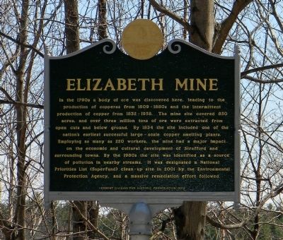
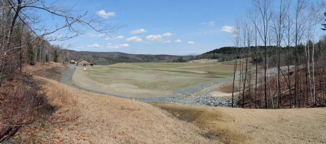
In the 1790s a body of ore was discovered here, leading to the production of copperas from 1809 - 1880s and the intermittent production of copper from 1832 - 1958. The mine site covered 850 acres, and over three million tons of ore were extracted from open cuts and below ground. By 1834 the site included one of the nation's earliest successful large-scale copper smelting plants. Employing as many as 220 workers, the mine had a major impact on the economic and cultural development of Strafford and surrounding towns. By the 1980s the site was identified as a source of pollution in nearby streams. It was designated a National Priorities List (Superfund) clean-up site in 2001 by the Environmental Protection Agency, and a massive remediation effort followed.
Erected 2012 by Vermont Division for Historic Preservation.
Topics. This historical marker is listed in these topic lists: Environment • Industry & Commerce. A significant historical year for this entry is 1809.
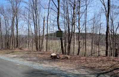
Location. 43° 49.463′ N, 72° 19.961′ W. Marker is near South Strafford, Vermont, in Orange County. Marker is on Mine Road, 0.1 miles north of Copperas Road, on the right when traveling north. Touch for map. Marker is in this post office area: South Strafford VT 05070, United States of America. Touch for directions.
Other nearby markers. At least 8 other markers are within 7 miles of this marker, measured as the crow flies. Furnace Flat (approx. ¾ mile away); Justin Smith Morrill / Morrill Homestead (approx. 3½ miles away); Strafford Village (approx. 3.6 miles away); Strafford (approx. 3.6 miles away); Old City and Old City Falls (approx. 4.4 miles away); Camp Farnsworth (approx. 4.7 miles away); Thetford Academy (approx. 5.2 miles away); Carlton Clark Memorial Bridge (approx. 7 miles away).
Also see . . . South Strafford's Elizabeth Copper Mine - Vermont Historical Society. The Elizabeth Copper Mine in South Strafford, Vermont, has an interesting history, from the initial discovery of its sulphide ore body in 1793 through its final closing in 1958. (Submitted on April 30, 2013, by PaulwC3 of Northern, Virginia.)
Credits. This page was last revised on February 16, 2023. It was originally submitted on April 30, 2013, by PaulwC3 of Northern, Virginia. This page has been viewed 727 times since then and 11 times this year. Photos: 1, 2, 3. submitted on April 30, 2013, by PaulwC3 of Northern, Virginia.


