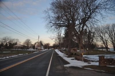
Williamson in Wayne County, New York — The American Northeast (Mid-Atlantic)
The Church of Jesus Christ of Latter-Day Saints
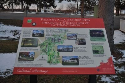
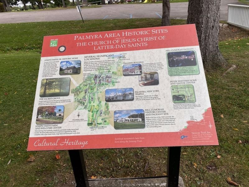
Palmyra Area Historic Sites
— Several Significant Locations —
Joseph Smith, Sr. Historic Home
Around 1818 Joseph Smith, Sr. and his wife, Lucy Mack Smith, built a log home and outbuildings where they lived for seven years. In late 1815 they moved a few hundred feet South to their new frame home. Both homes are authentically furnished and can be toured.
The Sacred Grove
Joseph Smith kneeled in this grove and received the guidance to obtain and translate the ancient text that became the Book of Mormon.
Joseph Smith Farm and Welcome Center
With thriving fruit orchards, meadows, and fields neatly fenced and tended, the farm looks much as it would have appeared by 1830, complete with a fine frame home, large barn and farmyard work areas.
Grandin Building
This building hosts the restored pressroom and bindery where the first copies of the Book of Mormon were produced by E.B. Grandin, the store where the book was first sold, and history exhibits.
Palmyra, New York Temple
The Palmyra Temple sits on a high ridge at the east end of the original 100 acres of the Joseph Smith, Sr. farm.
Hill Cumorah Visitors Center and Pageant Site
Built at the top of the Hill Cumorah, the Visitors Center contains beautiful displays with interactive audio and video that tell much about the historic events that took place at the many Church historic sites in the surrounding area.
Hill Cumorah Pageant
A great outdoor theatrical production presented in the tradition of religious pageants in the Middle Ages, featuring a cast of 700, and special sound and lighting effects.
Peter Whitmer Home and Visitor Center
In a small log home belonging to Peter Whitmer Sr., the Prophet Joseph Smith Jr. and five other men formally organized the Church of Jesus Christ of Latter-Day Saints.
Erected by Seaway Trail Inc.
Topics and series. This historical marker is listed in this topic list: Churches & Religion. In addition, it is included in the Great Lakes Seaway Trail National Scenic Byway series list. A significant historical year for this entry is 1818.
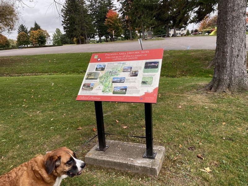
Location. 43° 16.876′ N, 77° 10.17′ W. Marker is in Williamson, New York, in Wayne County. Marker can be reached from Foreman Park, 0.1 miles north of Lake Road. This marker is one of three clustered together just off the Northwest corner of the parking lot in B. Foreman Park. Touch for map. Marker is in this post office area: Williamson NY 14589, United States of America. Touch for directions.
Other nearby markers. At least
8 other markers are within walking distance of this marker. Wreck of the St. Peter (here, next to this marker); Underground Railroad Terminus (about 400 feet away, measured in a direct line); Pultneyville Historic District (approx. 0.7 miles away); First White Men (approx. 0.7 miles away); The Battle of Pultneyville (approx. 0.7 miles away); From the Nearby Ravine (approx. 0.7 miles away); Site of Union Church (approx. 0.9 miles away); 100 Years of Dramatics (approx. 0.9 miles away). Touch for a list and map of all markers in Williamson.
Credits. This page was last revised on November 2, 2023. It was originally submitted on May 1, 2013, by Yugoboy of Rochester, New York. This page has been viewed 523 times since then and 12 times this year. Photos: 1. submitted on May 1, 2013, by Yugoboy of Rochester, New York. 2, 3. submitted on October 22, 2023, by Steve Stoessel of Niskayuna, New York. 4, 5. submitted on May 1, 2013, by Yugoboy of Rochester, New York. • Bill Pfingsten was the editor who published this page.
