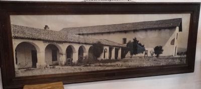
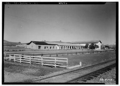
San Miguel in San Luis Obispo County, California — The American West (Pacific Coastal)
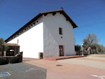
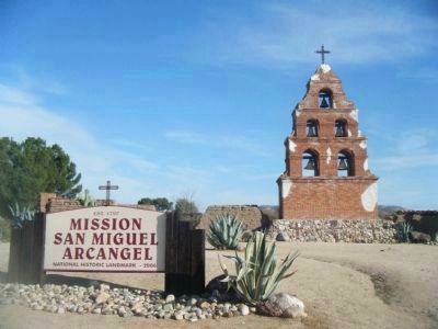
Mission San Miguel Arcangel
Inscription.
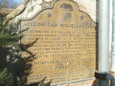
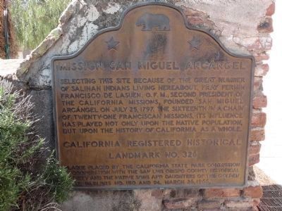
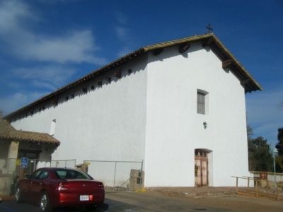
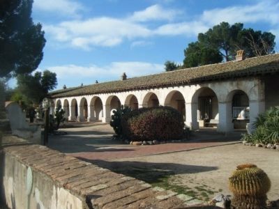
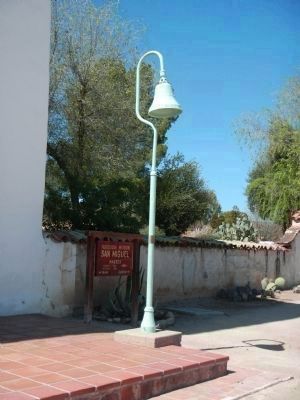
Selecting this site because of the great number of Salinan Indians living hereabout. Fray Fermin Francisco de Lasuen, O.F.M., second president of the California Missions. Founded San Miguel Archangel on July 25,1797. The sixteenth in a chain of twenty-one Franciscan Missions. Its influence has played not only upon the native population but upon the history of California as whole.
Erected 1966 by California State Park Comm, San Luis Obispo Co. Historical Society, Native Sons & Daughters of the Golden West. (Marker Number 326.)
Topics and series. This historical marker is listed in these topic lists: Churches & Religion • Notable Buildings • Settlements & Settlers. In addition, it is included in the California Historical Landmarks, the National Historic Landmarks, and the Native Sons/Daughters of the Golden West series lists. A significant historical month for this entry is July 1838.
Location. 35° 44.599′ N, 120° 41.875′ W. Marker is in San Miguel, California, in San Luis Obispo County. Marker can be reached from Mission Street near El Camino Real (California Highway 101). Touch for map. Marker is at or near this postal address: 1425 Mission Street, San Miguel CA 93451, United States of America. Touch for directions.
Other nearby markers. At least 8 other markers are within walking distance of this marker. Cross of El Camino Real (about 400 feet away, measured in a direct line); Mission Fields (about 500 feet away); Fr. Fidelis Wieland, O.F.M (about 600 feet away); Mission Cemetery (about 700 feet away); Lt. Col. John C. Fremont (approx. 0.2 miles away); San Miguel Cemetery District (approx. 0.3 miles away); Rios-Caledonia Adobe (approx. 0.4 miles away); El Camino Real (approx. 0.4 miles away). Touch for a list and map of all markers in San Miguel.
Regarding Mission San Miguel Arcangel. This site was designated as California Registered Historical Landmark No.326 on August 8, 1939.
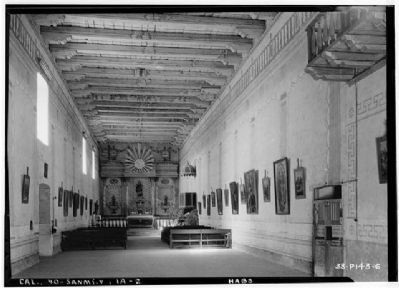
Photographed By Roger Sturtevant, Photographer, January 28, 1934
10. Interior of the Church - 1934
Historic American Buildings Survey
Library of Congress, Prints and Photograph Division HABS CAL,40-SANMI.V,1-
Click for more information.
Library of Congress, Prints and Photograph Division HABS CAL,40-SANMI.V,1-
Click for more information.
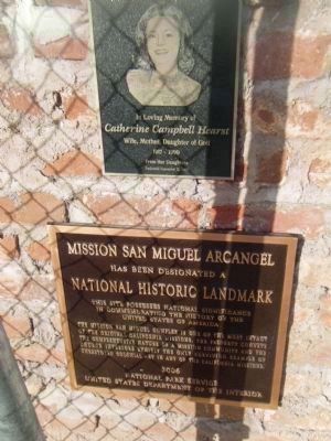
Photographed By I.G.V.Atajar, November 28, 2009
16. Mission San Miguel Arcangel Marker
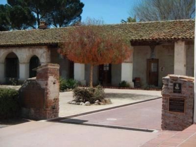
Upper Plaque
In Loving Memory of
Catherine Campbell Hearst
Wife, Mother, Daughter of God
1917 - 1999
From her daughters
Dedicated September 21, 2003
Lower PlaqueMission San Miguel Arcangel
Has been designated a
National Historic Landmark
This site possesses National significance
in commemorating the history of the
United States of America
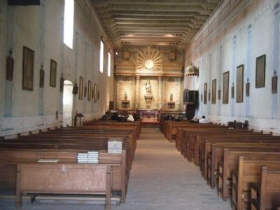
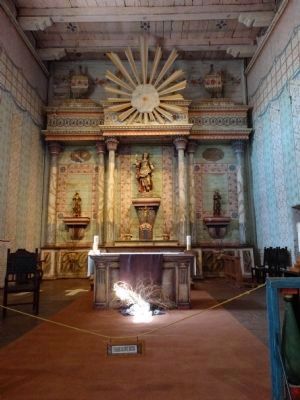
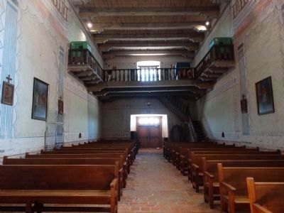
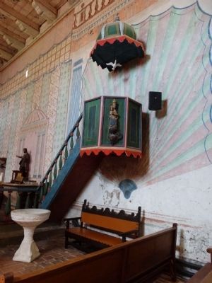
The Mission San Miguel complex is one of the most intact of the original California Missions. The property conveys the comprehensive nature of a Mission community and the Church interiors exhibit the only surviving example of unrestored Colonial art in any of the California Missions.
2006
National Park Service
United States Department of the Interior
Catherine Campbell Hearst
Wife, Mother, Daughter of God
1917 - 1999
From her daughters
Dedicated September 21, 2003
Lower Plaque
Has been designated a
National Historic Landmark
This site possesses National significance
in commemorating the history of the
United States of America
National Park Service
United States Department of the Interior
Credits. This page was last revised on June 16, 2016. It was originally submitted on November 30, 2009, by I.G.V.Atajar of San Jose, California. This page has been viewed 4,513 times since then and 34 times this year. Last updated on May 1, 2013, by Barry Swackhamer of Brentwood, California. Photos: 1. submitted on November 30, 2009, by I.G.V.Atajar of San Jose, California. 2. submitted on May 16, 2015, by Denise Boose of Tehachapi, California. 3. submitted on April 22, 2013, by Barry Swackhamer of Brentwood, California. 4. submitted on May 16, 2015, by Denise Boose of Tehachapi, California. 5, 6. submitted on November 30, 2009, by I.G.V.Atajar of San Jose, California. 7. submitted on December 1, 2009, by I.G.V.Atajar of San Jose, California. 8. submitted on April 22, 2013, by Barry Swackhamer of Brentwood, California. 9. submitted on December 1, 2009, by I.G.V.Atajar of San Jose, California. 10. submitted on December 7, 2009. 11, 12, 13, 14. submitted on May 16, 2015, by Denise Boose of Tehachapi, California. 15. submitted on December 7, 2009. 16. submitted on November 30, 2009, by I.G.V.Atajar of San Jose, California. • Syd Whittle was the editor who published this page.
