Gainesville in Alachua County, Florida — The American South (South Atlantic)
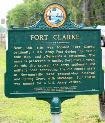
Fort Clarke
Erected 1972 by Alachua County Historical Commission, Authorized by The Board of County Commissioners In Cooperation With Department of State. (Marker Number F-201.)
Topics. This historical marker is listed in these topic lists: Forts and Castles • Roads & Vehicles • Wars, US Indian.
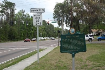
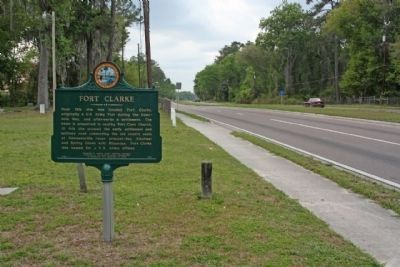
Location. 29° 39.601′ N, 82° 26.356′ W. Marker is in Gainesville, Florida, in Alachua County. Marker is on West Newberry Road (State Road 26) near NW 91st Street, on the right when traveling east. Located on grounds of Fort Clarke Church. Touch for map. Marker is in this post office area: Gainesville FL 32607, United States of America. Touch for directions.
Other nearby markers. At least 8 other markers are within 4 miles of this marker, measured as the crow flies. Forced into Service (approx. 1.4 miles away); Old Stage Road (approx. 2.4 miles away); Cpl Milton Lewis (approx. 3.1 miles away); Korean War Veterans (approx. 3.2 miles away); Duane E. Dewey (approx. 3.2 miles away); Patrick K. Prindeville and Tomorio D. Burkett (approx. 3.2 miles away); World War II (approx. 3.2 miles away); Combat Wounded Veterans (approx. 3.2 miles away). Touch for a list and map of all markers in Gainesville.
Credits. This page was last revised on June 16, 2016. It was originally submitted on May 8, 2013, by Mike Stroud of Bluffton, South Carolina. This page has been viewed 1,270 times since then and 47 times this year. Photos: 1, 2, 3. submitted on May 8, 2013, by Mike Stroud of Bluffton, South Carolina.


