Near Megiddo, Haifa District, Israel — West Asia (the Levant in the Middle East)
The Southern Stables
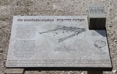
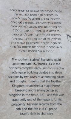
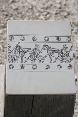
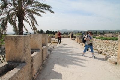
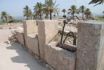
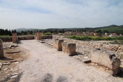
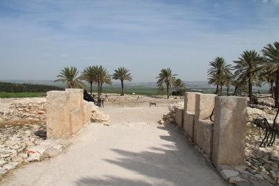
The southern stables' five units could accommodate 150 horses. As in the northern complex, each unit consists of a rectangular building divided into three sections by two rows of alternating pillars and troughs. It seems that the Northern Kingdom established a major horse-breeding and training center at Megiddo in the 8th c. B.C., and this was apparently one of the reasons for its prosperity. Assyrian records from the 9th and the 8th c. B.C. praise Israel's skills in chariotry.
[Text across the Bottom of the Marker]:
"I (Shalmaneser III) departed from Argana and approached Karkara. I destroyed (...) Karkara (...) he (the king of Hamath) brought along to help him 1,200 chariots (...) of Adad-'Iori of Damascus (...) 2,000 chariots (...) from Ahab, the Israelite" (Assyrian monolith inscription, describing the Battle of Karkara, 853 B.C.)
Topics and series. This historical marker is listed in these topic lists: Anthropology & Archaeology • Forts and Castles • Settlements & Settlers. In addition, it is included in the Tel Megiddo series list.
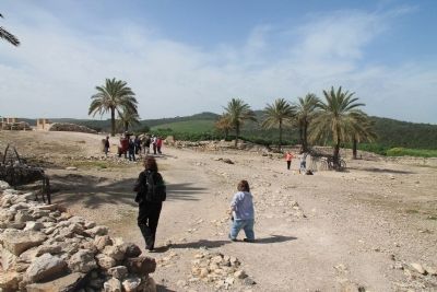
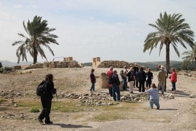
Location. 32° 35.086′ N, 35° 11.02′ E. Marker is near Megiddo, Haifa District. Marker can be reached from National Route 66 just north of National Route 65, on the left when traveling north. This historical marker is located in the Megiddo National Park. The park is located between the Megiddo and Yokne‘am junctions (road no. 66), about 2 km west of the Megiddo junction. The historical marker is situated at the top of Tel Megiddo, in the southwestern section of the archaeological park. Touch for map. Touch for directions.
Other nearby markers. At least 8 other markers are within walking distance of this marker. The Water System (within shouting distance of this marker); A Public Grain Silo (within shouting distance of this marker); The Southern Palace (within shouting distance of this marker); Schumaker's Excavations (about 90 meters away, measured in a direct line); The City-Gate (about 180 meters away); The Northern Stables (about 180 meters away); a different marker also named The City-Gate (about 180 meters away); The Northern Palace (about 180 meters away). Touch for a list and map of all markers in Megiddo.
More about this marker. The "Megiddo National Park" handout/brochure has this to say about Stop 16, "The Southern Stables" on the historic tour:
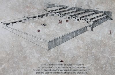
This is one of Megiddo's two stable complexes dating from the period of the Israelite kings. It includes five lengthwise structures that opened onto a large training ground, with a square trough in the center. Each structure was divided into three lengthwise units separated by
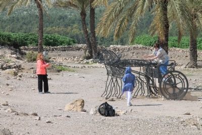
rows of stone pillars flanking troughs. The excavators discovered bite-marks of horses on the troughs, as well as holes, probably to tether animals. Each structure featured a central hall with a thickly plastered floor. The horses would pass through this hall to side rooms with stone-paved floors. One of the five stables has been reconstructed.
Related markers. Click here for a list of markers that are related to this marker. To better understand the relationship, study each marker in the order shown.
Also see . . .
1. Tel Megiddo. This is a link to information provided by Wikipedia, the free encyclopedia. (Submitted on May 8, 2013, by Dale K. Benington of Toledo, Ohio.)
2. The Megiddo Expedition. This is a link to information provided by The Megiddo Expedition Website. (Submitted on May 8, 2013, by Dale K. Benington of Toledo, Ohio.)
3. Tel Megiddo. This is a link to information provided by the BibleWalks.com website. (Submitted on May 8, 2013, by Dale K. Benington of Toledo, Ohio.)
4. Ahab. This is a link to information provided by Wikipedia, the free encyclopedia. (Submitted on May 8, 2013, by Dale K. Benington of Toledo, Ohio.)
5. Ahab the Israelite. This is a link to information provided by the Associates for Biblical Research. (Submitted on May 8, 2013, by Dale K. Benington of Toledo, Ohio.)
6. Shalmaneser III. This is a link
Photographed By Dale K. Benington, March 8, 2013
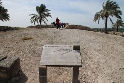
3. The Southern Stables Marker
Close-up view of the illustration of the Northern Stables displayed on the historic marker. The caption reads: "All units (1) opened onto the spacious lime-paved courtyard (2), probably used for the training of horses and charioteers."
7. Shalmaneser III and Assyria. This is a link to information provided by Bible History Online. (Submitted on May 8, 2013, by Dale K. Benington of Toledo, Ohio.)
Credits. This page was last revised on February 23, 2024. It was originally submitted on May 8, 2013, by Dale K. Benington of Toledo, Ohio. This page has been viewed 616 times since then and 17 times this year. Photos: 1, 2, 3, 4, 5, 6, 7, 8, 9, 10, 11, 12. submitted on May 9, 2013, by Dale K. Benington of Toledo, Ohio.
