Cherry Hill in Baltimore, Maryland — The American Northeast (Mid-Atlantic)
Gwynns Falls Trail
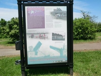
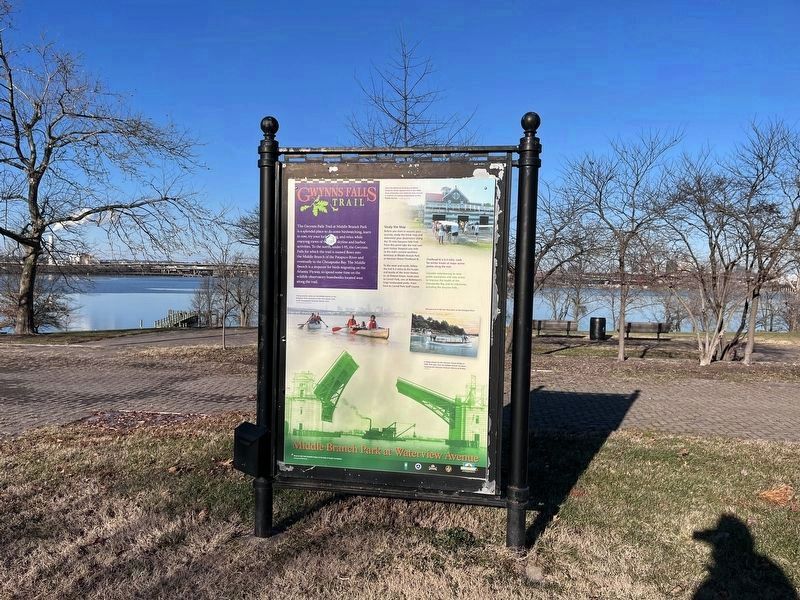
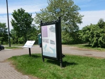
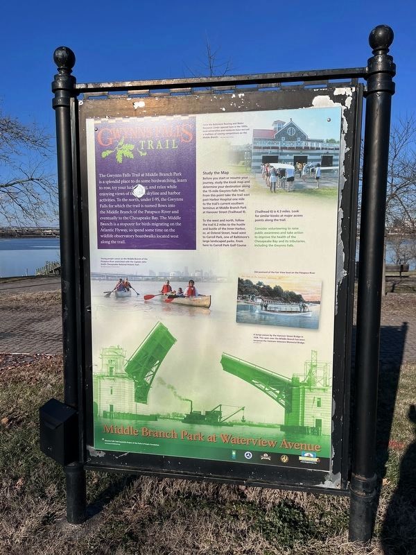
Middle Branch Park at Waterview Avenue
The Gwynns Falls Trail at Middle Branch Park is a splendid place to do some birdwatching, learn to row, try your luck fishing, and relax while enjoying views of the city’s skyline and harbor activities. To the north, under I-95, the Gwynns Falls for which the trail is named flows into the Middle Branch of the Patapsco River and eventually to the Chesapeake Bay. The Middle Branch is a stopover for birds migrating on the Atlantic Flyway, so spend some time on the wildlife observatory boardwalks located west along the trail.
Study the Map-Before you start or resume your journey, study the kiosk map and determine your destination along the 15-mile Gwynns Falls Trail. From this point take the trail east past Harbor Hospital one mile to the trail’s current southern terminus at Middle Branch Park at Hanover Street (Trailhead 9).
To the west and north, follow the trail 6.2 miles to the hustle and bustle of the Inner Harbor, or, at Ostend Street, head west to Carroll Park, one of Baltimore’s large landscaped parks. From here to Carroll Park Golf Course (Trailhead 6) is 4.3 miles. Look for similar kiosks at major access points along the trail.
[Captions:]
Since the Baltimore Rowing and Water Resource Center opened here in the 1980s, local universities and residents have revived a tradition of rowing competitions on the Middle Branch.
Young people canoe on the Middle Branch of the Patapsco River associated with the Captain John Smith Chesapeake National Historic Trail.
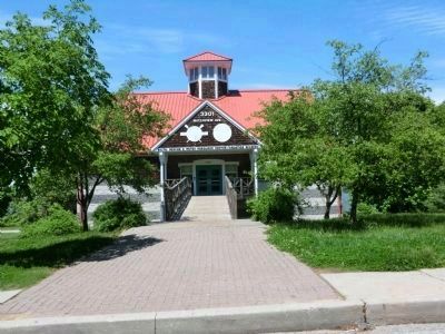
Old postcard of the Fair View boat on the Patapsco River.
Erected by Gwynns Falls Trail Council/ A Project of the Parks and People Foundation.
Topics and series. This historical marker is listed in these topic lists: Charity & Public Work • Environment • Waterways & Vessels. In addition, it is included in the Captain John Smith Chesapeake National Historic Trail series list.
Location. 39° 15.267′ N, 76° 37.25′ W. Marker is in Baltimore, Maryland. It is in Cherry Hill. Marker is on Waterview Avenue. Touch for map. Marker is at or near this postal address: 3301 Waterview Ave, Baltimore MD 21230, United States of America. Touch for directions.
Other nearby markers. At least 8 other markers are within walking distance of this marker. Senator Harry McGuirk (within shouting distance of this marker); Maryland Vietnam Veterans Memorial (approx. ¼ mile away); John Smith Explores Patapsco (approx. 0.3 miles away); On Guard (approx. 0.3 miles away); Our Impact on Our Waters (approx. 0.4 miles away); Hippocrates' Platanus (Sycamore) (approx. 0.4 miles
Credits. This page was last revised on April 6, 2023. It was originally submitted on May 13, 2013, by Don Morfe of Baltimore, Maryland. This page has been viewed 630 times since then and 4 times this year. Photos: 1, 2. submitted on December 26, 2022, by Devry Becker Jones of Washington, District of Columbia. 3. submitted on May 13, 2013, by Don Morfe of Baltimore, Maryland. 4. submitted on December 26, 2022, by Devry Becker Jones of Washington, District of Columbia. 5, 6. submitted on May 13, 2013, by Don Morfe of Baltimore, Maryland. • Bill Pfingsten was the editor who published this page.
![Gwynns Falls Trail Marker [Reverse]. Click for full size. Gwynns Falls Trail Marker [Reverse] image. Click for full size.](Photos6/697/Photo697315.jpg?1226202210800PM)
