Straban Township near Gettysburg in Adams County, Pennsylvania — The American Northeast (Mid-Atlantic)
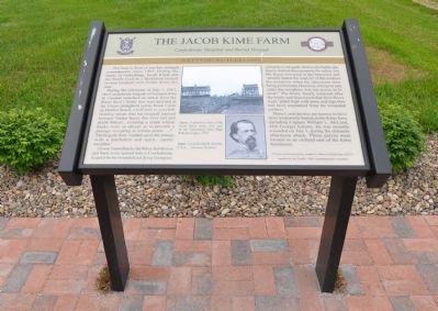
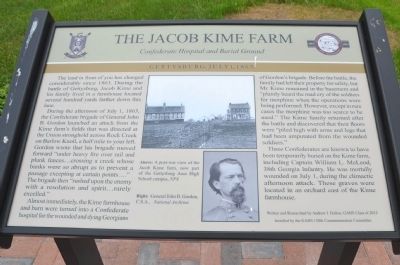
The Jacob Kime Farm
Confederate Hospital and Burial Ground
— Gettysburg: July 1, 1863 —
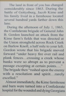
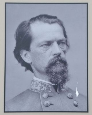
During the afternoon of July 1, 1863, the Confederate brigade of General John B. Gordon launched an attack from the Kime farm's fields that was directed at the Union stronghold across Rock Creek on Barlow Knoll, a half mile to your left. Gordon wrote that his brigade moved forward "under heavy fire over rail and plank fences...crossing a creek whose banks were so abrupt as to prevent a passage excepting at certain points...." The brigade then "rushed upon the enemy with a resolution and spirit...rarely excelled."
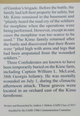
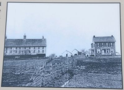
Almost immediately, the Kime farmhouse and barn were turned into a Confederate hospital for the wounded and dying Georgians of Gordon's brigade. Before the battle, the family had left their property for safety, but Mr. Kime remained in the basement and "plainly heard the mad cry of the soldiers for morphine when the operations were being performed. However, except in rare cases the morphine was too scarce to be used." The Kime family returned after the battle and discovered that their floors were "piled high with arms and legs that had been amputated from the wounded soldiers."
Three Confederates are known to have been temporarily buried on the Kime farm, including Captain William L. McLeod, 38th Georgia Infantry. He was mortally wounded on July 1, during the climactic afternoon attack. These graves were located in an orchard east of the Kime farmhouse.
Written and Researched by Andrew I. Dalton, GAHS Class of 2015
Erected 2013 by Gettysburg Area High School 150th Commemoration Committee.
Topics. This historical marker is listed in these topic lists: Science & Medicine • War, US Civil. A significant historical date for this entry is July 1, 1799.
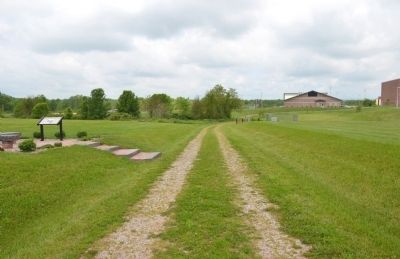
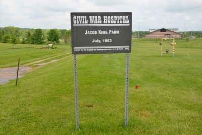
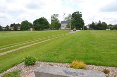
Location. 39° 51.001′ N, 77° 13.176′ W. Marker is near Gettysburg, Pennsylvania, in Adams County. It is in Straban Township. Marker is on Harrisburg Road (Business Route 15) 0 miles north of Johnson Drive, on the left when traveling north. The marker is on the old farm lane that once led to the farm itself. The lane is about 70 yards north of the animal hospital. The marker is about 90 yards off the Harrisburg Road, on the grounds of the Gettysburg Area High School. Touch for map. Marker is at or near this postal address: 996 Old Harrisburg Rd, Gettysburg PA 17325, United States of America. Touch for directions.
Other nearby markers. At least 8 other markers are within walking distance of this marker. A different marker also named Jacob Kime Farm (within shouting distance of this marker); Jones's Artillery Battalion (about 500 feet away, measured in a direct line); Carrington's Battery - Jones's Artillery Battalion (about 700 feet away); From Farm to Hospital (approx. ¼ mile away); Josiah Benner Farm (approx. 0.3 miles away); Garber's Battery - Jones's Artillery Battalion (approx. 0.3 miles away); Tanner's Battery - Jones's Artillery Battalion (approx. 0.3 miles away); Green's Battery - Jones's Artillery Battalion (approx. 0.4 miles away). Touch for a list and map of all markers in Gettysburg.
Credits. This page was last revised on February 22, 2023. It was originally submitted on May 20, 2013, by Karl Stelly of Gettysburg, Pennsylvania. This page has been viewed 1,289 times since then and 35 times this year. Last updated on May 23, 2013, by Karl Stelly of Gettysburg, Pennsylvania. Photos: 1, 2, 3, 4, 5, 6, 7, 8, 9. submitted on May 20, 2013, by Karl Stelly of Gettysburg, Pennsylvania. • Bill Pfingsten was the editor who published this page.
