Anthony in Doņa Ana County, New Mexico — The American Mountains (Southwest)
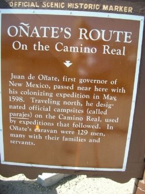
Oņates Route
On the Camino Real
[side 2]
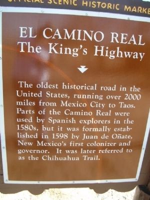
El Camino Real
The King's Highway
The oldest historical road in the United States, running over 2000 miles from Mexico City to Taos. Parts of the Camino Real were used by Spanish explorers in the 1580s, but it was formally established in 1598 by Juan de Oņate, New Mexico's first colonizer and governor. It was later referred to as the Chihuahua Trail.
Topics and series. This historical marker is listed in these topic lists: Exploration • Roads & Vehicles • Settlements & Settlers. In addition, it is included in the El Camino Real de Tierra Adentro series list. A significant historical month for this entry is May 1598.
Location. 32° 0.385′ N, 106° 34.907′ W. Marker is in Anthony, New Mexico, in Doņa Ana County. Marker can be reached from northbound I-10 (Interstate 10) when traveling north. Rest area/Visitor Center off northbound I-10. Touch for map. Marker is in this post office area: Anthony NM 88021, United States of America. Touch for directions.
Other nearby markers. At least 8 other markers are within 16 miles of this marker, measured as the crow flies . Brazito Battlefield (here, next to this marker); Butterfield Trail/Espejo's Expedition (a few steps from this marker); El Paso (approx. 1.7 miles away in Texas); Texas (approx. 1.7 miles away in Texas); Paraje de los Brazitos (approx. 9.2 miles away); Fusselman Canyon (approx. 10.1 miles away in Texas); MIM-23 Surface-to-Air Missile System (approx. 11.4 miles away); V2 Rocket (approx. 15.6 miles away in Texas). Touch for a list and map of all markers in Anthony.
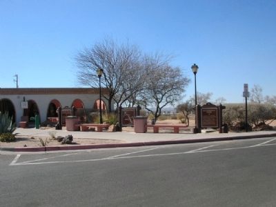
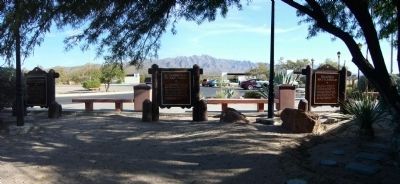
More about this marker. One of three "Official Scenic Historic" markers outside the Visitor Center.
Credits. This page was last revised on June 16, 2016. It was originally submitted on March 24, 2008, by Julie Szabo of Oldsmar, Florida. This page has been viewed 3,213 times since then and 140 times this year. Photos: 1, 2, 3. submitted on March 24, 2008, by Julie Szabo of Oldsmar, Florida. 4. submitted on November 18, 2010, by Bill Kirchner of Tucson, Arizona. • Christopher Busta-Peck was the editor who published this page.


