Near Howell in Ford County, Kansas — The American Midwest (Upper Plains)
Santa Fe Trail, 1821 - 1880
Eighteen Miles a Day
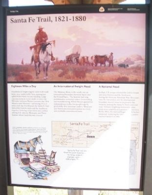
Hundreds of freight wagons laden with trade items once lumbered by here, passing just uphill from where you are standing. Large caravans took six to ten weeks to travel the 900 miles between Mexico (present-day New Mexico) and Missouri - advancing 18 to 21 miles each day. For 60 years the Santa Fe Trail linked the Eastern states and the Southwest together, fostering cooperation and conflict among U.S. citizens, Mexicans, and Plains Indians whose lands the trail crossed.
An International Freight Road
The Arkansas River, to the south, was an international boundary between Spain and the United States. The Spanish had long prohibited its territorial settlers from trading and manufacturing. When Mexico gained her independence in 1821, her people eagerly greeted the first American traders. Mexicans and Americans soon participated in a lively and profitable international trade.
A National Road
In 1846, U.S. troops traveled the trail to invade and seize Mexico and the Southwest during the Mexican-American War. Two years later the war ended, and the international boundary moved closer to its present-day location, making the Santa Fe Trail a national road. Military freighting increased as army posts were established to protect trail travelers. By the 1860s, the railroad began to push farther westward, replacing the trail as it went, until it reached Santa Fe in 1880.
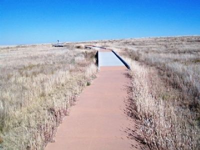
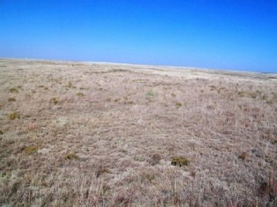
Santa Fe Trail ruts are still visible here. Walk the path leading up the hill and look for long, wide depressions, vegetation changes, and water courses running at odd angles. The path crosses the historic trail at each boardwalk.
[Illustration caption read]
Cloth, hardware, notions, and even canaries were shipped from Missouri and Kansas to New Mexico. Wool and silver coins were hauled to the United States - along with Mexican jacks and jennets, which provided the parent stock for the famous "Missouri mule."
Erected by the National Park Service, Boot Hill Museum, and Santa Fe Trail Association.
Topics and series. This historical marker is listed in these topic lists: Industry & Commerce • Native Americans • Roads & Vehicles • War, Mexican-American. In addition, it is included in the Santa Fe Trail series list. A significant historical year for this entry is 1821.
Location. 37° 47.387′ N, 100° 11.828′ W. Marker is near Howell, Kansas, in Ford County. Trail Ruts Park is on the right while traveling west of US Hwy 50/400, about ½ mile west of Howell Road. Touch for map. Marker is in this post office area: Dodge City KS 67801, United States of America. Touch for directions.
Other nearby markers. At least 8 other markers are within
walking distance of this marker. Trails on the Prairie (here, next to this marker); Santa Fe Trail Sites to the West & South (here, next to this marker); A Fine Country… (here, next to this marker); Santa Fe Trail Sites to the East (here, next to this marker); Campsite of the U.S. Survey Team Sept. 10-21, 1825 (within shouting distance of this marker); a different marker also named Santa Fe Trail (within shouting distance of this marker); The Worst Piece of Road (about 400 feet away, measured in a direct line); Santa Fe Trail Remains (about 500 feet away). Touch for a list and map of all markers in Howell.
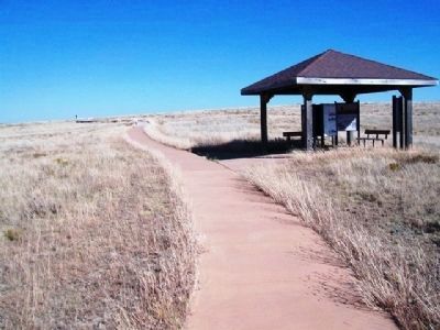
More about this marker. Marker is in a kiosk along the walking path.
Also see . . .
1. Santa Fe National Historic Trail. (Submitted on May 26, 2013, by William Fischer, Jr. of Scranton, Pennsylvania.)
2. Santa Fe Trail Association. (Submitted on May 26, 2013, by William Fischer, Jr. of Scranton, Pennsylvania.)
3. U.S.-Mexican War. (Submitted on May 26, 2013, by William Fischer, Jr. of Scranton, Pennsylvania.)
Credits. This page was last revised on June 16, 2016. It was originally submitted on May 26, 2013, by William Fischer, Jr. of Scranton, Pennsylvania. This page has been viewed 806 times since then and 37 times this year. Photos: 1, 2, 3, 4. submitted on May 26, 2013, by William Fischer, Jr. of Scranton, Pennsylvania.


