Near St. Peter in Nicollet County, Minnesota — The American Midwest (Upper Plains)
Traverse des Sioux
Inscription.
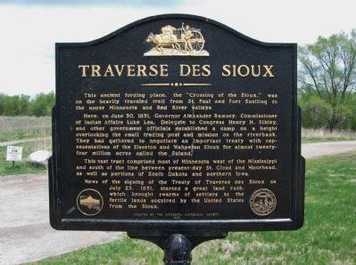
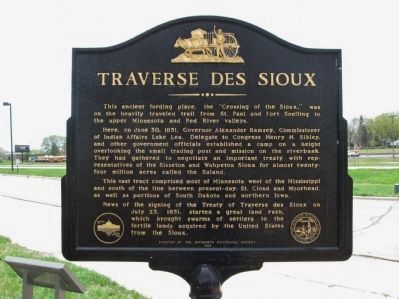
This ancient fording place, the "Crossing of the Sioux," was on the heavily traveled trail from St. Paul and Fort Snelling to the upper Minnesota and Red River valleys.
Here, on June 30, 1851, Governor Alexander Ramsey, Commissioner of Indian Affairs Luke Lea, Delegate to Congress Henry H. Sibley, and other government officials established a camp on a height overlooking the small trading post and mission on the riverbank. They had gathered to negotiate an important treaty with representatives of the Sisseton and Wahpeton Sioux for almost twenty-four million acres called the Suland.
This vast tract comprised most of Minnesota west of the Mississippi and south of the line between present-day St. Cloud and Moorhead, as well as portions of South Dakota and northern Iowa.
News of the signing of the Treaty of Traverse des Sioux on July 23, 1851, started a great land rush, which brought swarms of settlers to the fertile lands acquired by the United States from the Sioux.
seal of The Minnesota Historical Society, Instituted 1849
Erected by the Minnesota Historical Society
1968
Erected 1968 by The Minnesota Historical Society.
Topics and series. This historical marker is listed in these topic lists: Native Americans • Settlements & Settlers • Waterways & Vessels. In addition, it is included in the Minnesota Historical Society series list. A significant historical date for this entry is June 30, 1851.
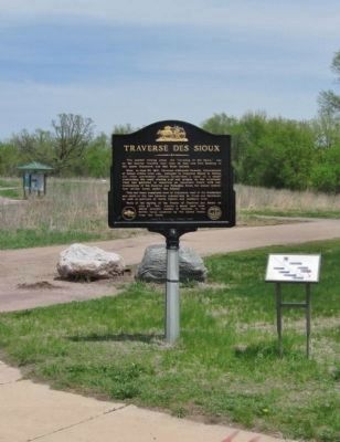
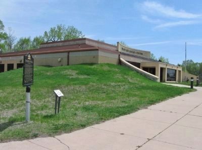
Location. 44° 20.945′ N, 93° 57.049′ W. Marker is near St. Peter, Minnesota, in Nicollet County. Marker can be reached from the intersection of North Minnesota Avenue (U.S. 169) and Dodd Avenue (State Highway 22), on the right when traveling north. Marker is at the Nicollet County Historical Society Treaty Site History Center. Touch for map. Marker is at or near this postal address: 1851 North Minnesota Avenue, Saint Peter MN 56082, United States of America. Touch for directions.
Other nearby markers. At least 8 other markers are within walking distance of this marker. A Minority in Their Homeland (a few steps from this marker); Welcome to Traverse des Sioux (within shouting distance of this marker); "Only a Memory Now" (about 300 feet away, measured in a direct line); Land-Seas (about 500 feet away); Archaeology (about 600 feet away); Ministering to the Dakota (about 700 feet away); Ecakensdonyapi (about 700 feet away); The Rush for Land (approx. 0.2 miles away). Touch for a list and map of all markers in St. Peter.
Also see . . .
1. Treaty of Traverse des Sioux. Wikipedia entry. (Submitted on May 28, 2013.)
2. Traverse des Sioux. Wikipedia entry. "Formerly a Minnesota state park, the site of the old settlement and river ford is now a State Historic Site and a Minnesota State Monument, and is on the National Register of Historic Places." (Submitted on May 28, 2013.)
Credits. This page was last revised on August 6, 2021. It was originally submitted on May 28, 2013, by Keith L of Wisconsin Rapids, Wisconsin. This page has been viewed 698 times since then and 51 times this year. Photos: 1, 2, 3, 4, 5. submitted on May 28, 2013, by Keith L of Wisconsin Rapids, Wisconsin.
