Near Howell in Ford County, Kansas — The American Midwest (Upper Plains)
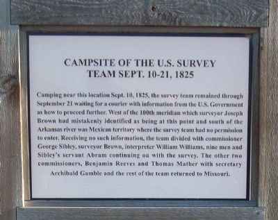
Campsite of the U.S. Survey Team Sept. 10-21, 1825
Inscription.
Camping near this location Sept. 10, 1825, the survey team remained through September 21 waiting for a courier with information from the U.S. Government as to how to proceed further. West of the 100th meridian which surveyor Joseph Brown mistakingly identified being at this point and south of the Arkansas River was Mexican territory where the survey team had no permission to enter. Receiving no such information, the team was divided with commissioner George Sibley, surveyor Brown, interpreter William Williams, nine men and Sibley's servant Abram continuing on with the survey. The other two commissioners, Benjamin Reeves and and Thomas Mather with secretary Archibald Gamble and the rest of the team returned to Missouri.
Topics and series. This historical marker is listed in these topic lists: Government & Politics • Roads & Vehicles. In addition, it is included in the Santa Fe Trail series list. A significant historical year for this entry is 1825.
Location. 37° 47.371′ N, 100° 11.85′ W. Marker is near Howell, Kansas, in Ford County. Marker is on US-50 (U.S. 50/400), on the right when traveling west. Turnout is approximately ½ mile west of Howell, Ks. Touch for map. Marker is in this post office area: Cimarron KS 67835, United States of America. Touch for directions.
Other nearby markers. At least 8 other markers are within walking distance of this marker. Santa Fe Trail (here, next to this marker); Trails on the Prairie (within shouting distance of this marker); Santa Fe Trail Sites to the West & South (within shouting distance of this marker); A Fine Country… (within shouting distance of this marker); Santa Fe Trail, 1821 - 1880 (within shouting distance of this marker); Santa Fe Trail Sites to the East (within shouting distance of this marker); The Worst Piece of Road (about 500 feet away, measured in a direct line); Santa Fe Trail Remains (about 600 feet away). Touch for a list and map of all markers in Howell.
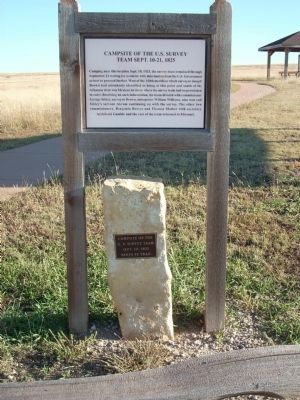
More about this marker. Markers are just north of the parking area.
Credits. This page was last revised on March 22, 2021. It was originally submitted on June 9, 2009, by Thomas Onions of Olathe, Kansas. This page has been viewed 1,623 times since then and 8 times this year. Last updated on June 6, 2013, by Duane Hall of Abilene, Texas. Photos: 1, 2. submitted on June 9, 2009, by Thomas Onions of Olathe, Kansas. • Bill Pfingsten was the editor who published this page.

