Near Fries in Grayson County, Virginia — The American South (Mid-Atlantic)
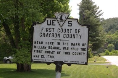
First Court of Grayson County
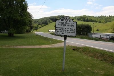
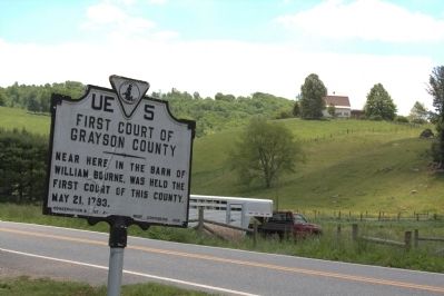
Near here in the barn of William Bourne, was held the first court of this county, May 21, 1793.
Erected 1930 by Conservation & Development Commission. (Marker Number UE-5.)
Topics and series. This historical marker is listed in this topic list: Political Subdivisions. In addition, it is included in the Virginia Department of Historic Resources (DHR) series list. A significant historical date for this entry is May 21, 1871.
Location. 36° 42.927′ N, 81° 3.141′ W. Marker is near Fries, Virginia, in Grayson County. Marker is on Spring Valley Road (County Route 805) just west of Clito Road (County Route 650), on the right when traveling west. Touch for map. Marker is in this post office area: Fries VA 24330, United States of America. Touch for directions.
Other nearby markers. At least 8 other markers are within 8 miles of this marker, measured as the crow flies. Fries (approx. 3˝ miles away); a different marker also named Fries (approx. 3.9 miles away); “New River Train” Song (approx. 3.9 miles away); Grayson County / Carroll County (approx. 4.1 miles away); Caty Sage (approx. 6.4 miles away); Peyton Guyn Hale (approx. 6˝ miles away); Old County Seat (approx. 6.6 miles away); a different marker also named Fries (approx. 7.4 miles away). Touch for a list and map of all markers in Fries.
More about this marker. This marker was erected on State Route 118. In 1933 the route was renumbered VA 95 and by 1938 it was paved for most of its length between present-day VA 94 and US 21. In 1953 it was downgraded to SR (secondary route) 805.
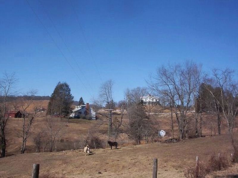
Also see . . . Pioneer Settlers of Grayson County. New River Notes website entry:
Chapter II - The Bourne Family (Submitted on March 19, 2022, by Larry Gertner of New York, New York.)
Credits. This page was last revised on March 19, 2022. It was originally submitted on June 7, 2013, by J. J. Prats of Powell, Ohio. This page has been viewed 533 times since then and 14 times this year. Photos: 1, 2, 3. submitted on June 7, 2013, by J. J. Prats of Powell, Ohio. 4. submitted on March 19, 2022, by Larry Gertner of New York, New York.


