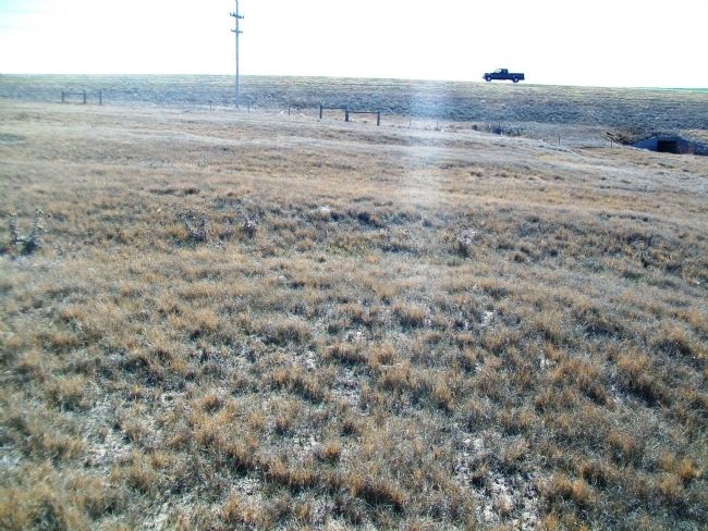
Near Lakin in Kearny County, Kansas — The American Midwest (Upper Plains)
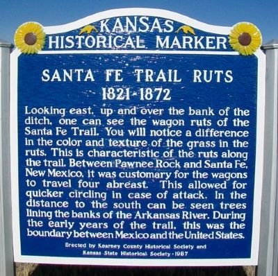
Santa Fe Trail Ruts
1821 - 1872
Erected 1987 by Kearny County Historical Society and Kansas State Historical Society. (Marker Number 72.)
Topics and series. This historical marker is listed in these topic lists: Communications • Industry & Commerce • Roads & Vehicles. In addition, it is included in the Kansas Historical Society, and the Santa Fe Trail series lists.
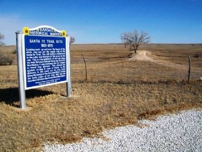
Location. 37° 58.445′ N, 101° 11.12′ W. Marker is near Lakin, Kansas, in Kearny County. Marker is on U.S. 50/400 east of Road W2, on the left when traveling east. Marker is at a roadside turnout about four miles east of Lakin. Touch for map. Marker is in this post office area: Lakin KS 67860, United States of America. Touch for directions.
Other nearby markers. At least 8 other markers are within 6 miles of this marker, measured as the crow flies. Santa Fe Trail (approx. 2.8 miles away); Veterans Memorial (approx. 3.8 miles away); a different marker also named Veterans Memorial (approx. 3.8 miles away); a different marker also named Santa Fe Trail (approx. 4.4 miles away); Site of O'Loughlin's Trading Post (approx. 4.6 miles away); The White House (approx. 4.6 miles away); a different marker also named Santa Fe Trail (approx. 4.9 miles away); Chouteau's Island (approx. 5.8 miles away). Touch for a list and map of all markers in Lakin.
Also see . . .
1. Santa Fe National Historic Trail. (Submitted on June 9, 2013, by William Fischer, Jr. of Scranton, Pennsylvania.)
2. Santa Fe Trail Association. (Submitted on June 9, 2013, by William Fischer, Jr. of Scranton, Pennsylvania.)
Credits. This page was last revised on September 3, 2020. It was originally submitted on June 8, 2013, by William Fischer, Jr. of Scranton, Pennsylvania. This page has been viewed 905 times since then and 54 times this year. Photos: 1, 2, 3, 4, 5. submitted on June 9, 2013, by William Fischer, Jr. of Scranton, Pennsylvania.
