Bellows Falls in Windham County, Vermont — The American Northeast (New England)
Waypoint Center
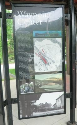
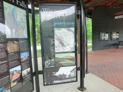
The Waypoint Center, representative of a train locomotive and railroad station platform, reminds one of the busy railyard of days past. Bisecting the platform, the sidewalk and soaring steel arches evoke the old Arch Bridge which had graced the community for much of the last century. The longest arch bridge in the US when it was built in 1905, it was demolished in 1982. The Waypoint’s overall layout mirrors the shape of the nearby village center, where Rockingham and Canal Streets meet to become the Town Square. Here a “bridge” and a “train” cross paths, creating a square, the patio meeting area. In these architectural details, the Waypoint Center narrates some of the history of Bellows Falls, and now occupies its own special place in the heart of our historic rail district.
Topics. This historical marker is listed in these topic lists: Industry & Commerce • Railroads & Streetcars. A significant historical year for this entry is 1849.
Location. 43° 8.136′ N, 72° 26.682′ W. Marker is in Bellows Falls, Vermont, in Windham County. Marker is on Depot Street. Touch for map. Marker is in this post office area: Bellows Falls VT 05101, United States of America. Touch for directions.
Other nearby markers. At least 8 other markers are within 5 miles of this marker, measured as the crow flies. Bellows Falls (here, next to this marker); Hotel Windham / Andrews Inn (about 700 feet away, measured in a direct line); Bellows Falls Canal (approx. 0.2 miles away); First Connecticut River Bridge (approx. 0.6 miles away in New Hampshire); John Kilburn Cabin (approx. 1.6 miles away in New Hampshire); Rev. John Williams (approx. 3 miles away); Rockingham Meetinghouse (approx. 4.2 miles away); Rockingham Meeting House (approx. 4.2 miles away). Touch for a list and map of all markers in Bellows Falls.
Credits. This page was last revised on February 16, 2023. It was originally submitted on June 8, 2013, by Don Morfe of Baltimore, Maryland. This page has been viewed 575 times since then and 16 times this year. Photos: 1, 2. submitted on June 8, 2013, by Don Morfe of Baltimore, Maryland. • Bill Pfingsten was the editor who published this page.

