Manassas in Prince William County, Virginia — The American South (Mid-Atlantic)
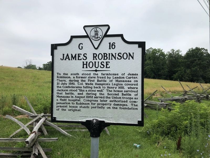
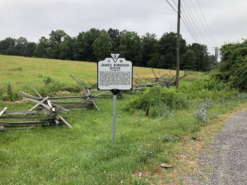
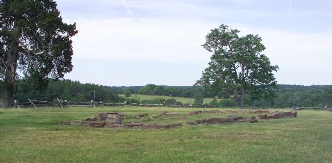
James Robinson House
Erected 1991 by Department of Historic Resources. (Marker Number G-16.)
Topics and series. This historical marker is listed in these topic lists: African Americans • Notable Buildings • War, US Civil. In addition, it is included in the Virginia Department of Historic Resources (DHR) series list. A significant historical date for this entry is July 21, 1961.
Location. 38° 49.177′ N, 77° 31.315′ W. Marker is in Manassas, Virginia, in Prince William County. Marker is on Lee Highway (formerly the Warrenton Turnpike) (U.S. 29) north of Sudley Road (Virginia Route 234), on the left when traveling south. Marker is just north of the Manassas National Battlefield Park’s Stone House parking lot, on the right as you travel north on US Route 29. Touch for map. Marker is in this post office area: Manassas VA 20109, United States of America. Touch for directions.
Other nearby markers. At least 8 other markers are within walking distance of this marker. Outnumbered: The Stand in Robinson Lane (about 700 feet away, measured in a direct line); Outnumbered (about 700 feet away); Robinson House (approx. 0.2 miles away); First Battle of Manassas (approx. 0.2 miles away); a different marker also named First Battle of Manassas (approx. 0.2 miles away); Henry House (approx. 0.2 miles away); a different marker also named Robinson House (approx. 0.2 miles away); Stone House (approx. 0.2 miles away). Touch for a list and map of all markers in Manassas.
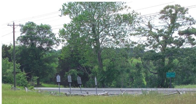
More about this marker. This marker stands with three other markers on the side of the road. There is a small gravel pulloff on Lee Highway at these markers. They can also be reached on foot from the Manassas National Battlefield Park’s Stone House parking lot and, at are a pleasant walk from from the park’s Visitors Center on Sudley Road.
Warrenton Turnpike (once U.S. 211), now Lee Highway (once U.S. 29/211), runs east-west through this area. It once had two route numbers, 29 and 211. Route 211 was the east-west route from New Market, Virginia to Washington, D.C. Route 29, a north-south route from Pensacola, Florida to Baltimore, Maryland, hitched
Credits. This page was last revised on September 13, 2023. It was originally submitted on October 10, 2006, by Tom Fuchs of Greenbelt, Maryland. This page has been viewed 2,468 times since then and 25 times this year. Last updated on September 13, 2023, by John Patterson of Gainesville,V A, Virginia. Photos: 1, 2. submitted on July 5, 2020, by Devry Becker Jones of Washington, District of Columbia. 3, 4. submitted on October 10, 2006, by Tom Fuchs of Greenbelt, Maryland. • Bernard Fisher was the editor who published this page.


