Scott State Park in Scott County, Kansas — The American Midwest (Upper Plains)
Plains Apache at El Cuartelejo
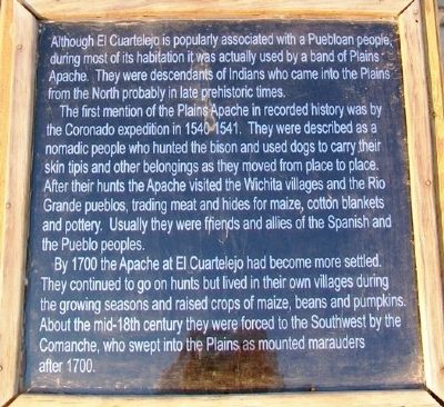
Although El Cuartelejo is popularly associated with a Puebloan people, during most of its habitation it was actually used by a band of Plains Apache. They were descendants of Indians who came into the Plains from the North probably in late prehistoric times.
The first mention of the Plains Apache in recorded history was by the Coronado expedition in 1540-1541. They were described as a nomadic people who hunted the bison and used dogs to carry their skin tipis and other belongings as they moved from place to place. After their hunts the Apache visited the Wichita villages and the Rio Grande pueblos, trading meat and hides for maize, cotton blankets and pottery. Usually they were friends and allies of the Spanish and the Pueblo peoples.
By 1700 the Apache at El Cuartelejo had become more settled. They continued to go on hunts but lived in their own villages during the growing seasons and raised crops of maize, beans and pumpkins. About the mid-18th century they were forced to the Southwest by the Comanche, who swept into the Plains as mounted marauders after 1700.
Topics. This historical marker is listed in these topic lists: Anthropology & Archaeology • Native Americans • Settlements & Settlers. A significant historical year for this entry is 1700.
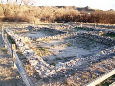
Location. 38° 40.607′ N, 100° 54.893′ W. Marker is in Scott State Park, Kansas, in Scott County. Marker is adjacent to the ruins, at the end of the path from the parking lot on West Scott Lake Drive. Touch for map. Marker is in this post office area: Scott City KS 67871, United States of America. Touch for directions.
Other nearby markers. At least 8 other markers are within 12 miles of this marker, measured as the crow flies. Pueblo Floor Plan (a few steps from this marker); El Cuartelejo Archeology (a few steps from this marker); El Cuartelejo (a few steps from this marker); El Quartelejo (within shouting distance of this marker); Steele Memorial (approx. ¼ mile away); Battle Canyon, 1878 (approx. 2.4 miles away); a different marker also named El Quartelejo (approx. 3.3 miles away); BOD (approx. 11.3 miles away). Touch for a list and map of all markers in Scott State Park.
Also see . . .
1. El Cuartelejo. Kansapedia entry (Submitted on June 13, 2013, by William Fischer, Jr. of Scranton, Pennsylvania.)
2. History of Scott State Park, Kansas. Kansas Department of Wildlife, Parks and Tourism website entry (Submitted on June 13, 2013, by William Fischer, Jr. of Scranton, Pennsylvania.)
3. Western Vistas Historic Byway. Kansas Byways website entry (Submitted on April 24, 2021, by Larry Gertner of New York, New York.)
Credits. This page was last revised on April 24, 2021. It was originally submitted on June 13, 2013, by William Fischer, Jr. of Scranton, Pennsylvania. This page has been viewed 552 times since then and 20 times this year. Photos: 1, 2. submitted on June 13, 2013, by William Fischer, Jr. of Scranton, Pennsylvania.

