Near Spotsylvania Courthouse in Spotsylvania County, Virginia — The American South (Mid-Atlantic)
Confederate Counterattack
The Battle of Spotsylvania Court House
ó Fredericksburg and Spotsylvania National Military Park ó
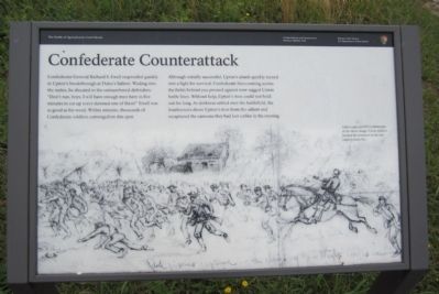
Confederate General Richard S. Ewell responded quickly to Uptonís breakthrough at Doleís Salient. Wading into the melee, he shouted to the outnumbered defenders: “Donít run, boys. I will have enough men here in five minutes to eat up every damned one of them!” Ewell was as good as his word. Within minutes, thousands of Confederate soldiers converged on this spot.
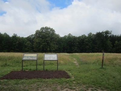
Although initially successful, Uptonís attack quickly turned into a fight for survival. Confederate lines coming across the fields behind you pressed against now-ragged Union battle lines. Without help, Uptonís men could not hold out for long. As darkness settled over the battlefield, the Southerners drove Uptonís men from the salient and recaptured the cannons they had lost earlier in the evening.
(caption)
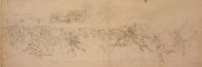
Upton captured 950 Confederates in his initial charge. Union soldiers hurried the prisoners to the rear under a heavy fire.
Erected by National Park Service, U.S. Department of the Interior.
Topics. This historical marker is listed in this topic list: War, US Civil.
Location. 38° 13.273′ N, 77° 36.211′ W. Marker is near Spotsylvania Courthouse, Virginia, in Spotsylvania County. Marker is on Anderson Drive, 0.2 miles west of Grant Drive, on the right when traveling west. Touch for map. Marker is in this post office area: Spotsylvania VA 22553, United States of America. Touch for directions.
Other nearby markers. At least 8 other markers are within walking distance of this marker. Uptonís Assault (here, next to this marker); Doles Salient (a few steps from this marker); Upton's Charge (about 300 feet away, measured in a direct line); Ramseur's Brigade (about 500 feet away); Spotsylvania Campaign (about 600 feet away); Forming for the Attack (about 600 feet away); a different marker also named Spotsylvania Campaign (approx. 0.2 miles away); McCoull Spring (approx. 0.2 miles away). Touch for a list and map of all markers in Spotsylvania Courthouse.
Also see . . . Fredericksburg & Spotsylvania National Military Park. National Park Service (Submitted on June 24, 2013.)
Credits. This page was last revised on November 14, 2021. It was originally submitted on June 24, 2013, by Bernard Fisher of Richmond, Virginia. This page has been viewed 612 times since then and 16 times this year. Photos: 1, 2. submitted on June 24, 2013, by Bernard Fisher of Richmond, Virginia. 3. submitted on June 24, 2013.


