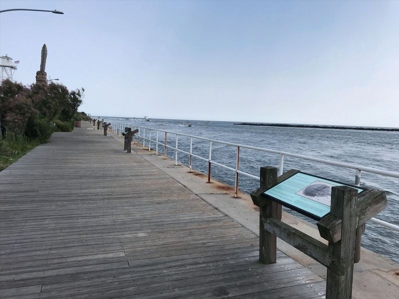
Ocean City in Worcester County, Maryland — The American Northeast (Mid-Atlantic)
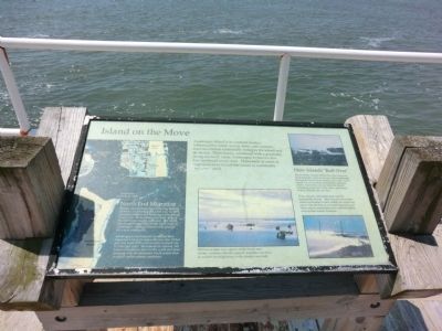
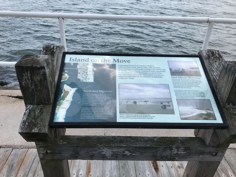
Island on the Move
North End Migration
Human development has altered the natural dynamics of Assateague’s north end. In 1933 a hurricane separated Assateague Island from Ocean City. Stone jetties were built to keep the inlet from closing with sand. The north jetty trapped sand that would have come to Assateague, creating a beach wide enough for a new parking lot. Assateague’s sand-starved north end then migrated west at an unusually fast rate; 35 feet per year from 1935 until recently (normal rate is 3 feet per year). Movement has slowed, but action is needed to prevent the north end from merging with the mainland much sooner that it would under natural conditions.
(Inscription under the photo in the center of the marker)
Old tree stumps may appear on the beach after storms—evidence that the present shoreline was once an ancient forest growing on the island’s west side.
(Inscription over the photo on the right side of the marker)
How Islands “Roll Over”
Many barrier islands retreat from the rising sea level through a natural process called overwash. During the most severe storms, powerful waves break over (overwash) and dissolve primary dunes. Successive waves flood the island, spreading sand over the wide areas. Sand often washes directly into the bay.
Dune, thicket, and marsh areas may be temporarily buried. After several overwashes, island movement is often visible; the marsh has grown into the bay on new sand deposits, and other island communities have shifted slightly west of their former locations.
Topics. This historical marker is listed in these topic lists: Environment • Natural Resources. A significant historical year for this entry is 1933.
Location. 38° 19.517′ N, 75° 5.3′ W. Marker is in Ocean City, Maryland, in Worcester County. Marker is on South 2nd Street. The marker is overlooking the Ocean City Inlet. Touch for map. Marker is in this post office area: Ocean City MD 21842, United States of America. Touch for directions.
Other nearby markers. At least 8 other markers are within walking distance of this marker. The Blue Crab (within shouting distance of this marker); Birds of the Shore (within shouting distance of this marker); Shore Camping / Island Exploring (within shouting distance of this marker); Largest Fish (within shouting distance of this marker); Native Americans
(within shouting distance of this marker); The Horseshoe Crab (within shouting distance of this marker); Trail of the Whispering Giants (within shouting distance of this marker); British Manufactured Cannon (within shouting distance of this marker). Touch for a list and map of all markers in Ocean City.
Credits. This page was last revised on January 20, 2022. It was originally submitted on July 6, 2013, by Don Morfe of Baltimore, Maryland. This page has been viewed 638 times since then and 34 times this year. Photos: 1. submitted on July 6, 2013, by Don Morfe of Baltimore, Maryland. 2. submitted on January 15, 2022, by Adam Margolis of Mission Viejo, California. 3, 4. submitted on July 6, 2013, by Don Morfe of Baltimore, Maryland. 5. submitted on January 15, 2022, by Adam Margolis of Mission Viejo, California. • Bill Pfingsten was the editor who published this page.
